| 0 | NA 88087 | WY030-247 | Amelanchier utahensis Koehne | Wyoming, United States | NA |  | | 2019 | COLLECTED | 08/01/2018 | From I-80, take exit 187 at Creston Junction and head south on Hwy 789 for 27 miles. Turn left (east) onto Wild Cow Rd (BLM #608). Follow the road for 3 miles, bearing right at the first fork. After 6 miles, turn left onto Willow Rd (BLM #3305). After one mile, bear right at the fork, and after another 0.5 miles, bear left at the fork. Continue for 7 miles; bear right at the fork and after 0.5 miles, bear left. Continue for 3 miles. Seeds collected from populations on right side of the rd. Cow Butte. T16N R90W S21. | 41.34792000, -107.52186000 | 2277 | Grazed upland. West facing slope, 9.3 degrees. R034AY222WY Loamy 10-14W. Mesaverde formation very fine to medium grained sandstone, calcareous sandstone, coal fine grained and calcareous sandstones restrict water movement, coal beds allow rapid water movement. | Wild material | | 2094528 | NA 88087 |
| 1 | NA 87981 | WY030-201 | Amelanchier utahensis Koehne | Wyoming, United States | NA | | | 2018 | COLLECTED | 08/08/2016 | Take I-80 west from Rawlins to exit 184. Go south on Hwy 789 for 76.8 miles to Baggs. Take Hwy 70 east to Dixon and turn left on N 3rd Street/CR 503. Continue north for 8.7 miles. Population is adjacent to road. T14 R90 Sect. 35 NW/SE. Sierra Madre Range | 41.14037000, -107.48670000 | 2177 | Mountain Shrubland. Northwest slope, 20-25 degrees. Silty, sandy soil. | Wild material | | 1958239 | NA 87981 |
| 2 | WLP 2281 | NM930N-134 | Amelanchier utahensis Koehne | New Mexico, United States | NA |  | | 2015 | COLLECTED | 07/10/2014 | From Farmington, head north. At intersection of Hwys 170 and 574 turn right to go east. After 7 miles turn right to go south on Glade Road (a dirt road), the 2nd entrance to the Glade Rec. Area. After 0.9 mi, turn left to go east on a dirt road. The population is approx. 0.4 miles down the dirt road on either side of the road. This collection was made from both the north- and south-facing slopes of the ridge. | 36.88894000, -108.08302000 | 1920 | Sandstone ridge, north and south facing 10 degree slopes. Sandy, gravelly-sandy soil texture; 10YR 5/4 soil color. | Wild material | | 1927016 | WLP 2281 |
| 3 | WLP 2273 | NV040-171 | Amelanchier utahensis Koehne | United States | NA | 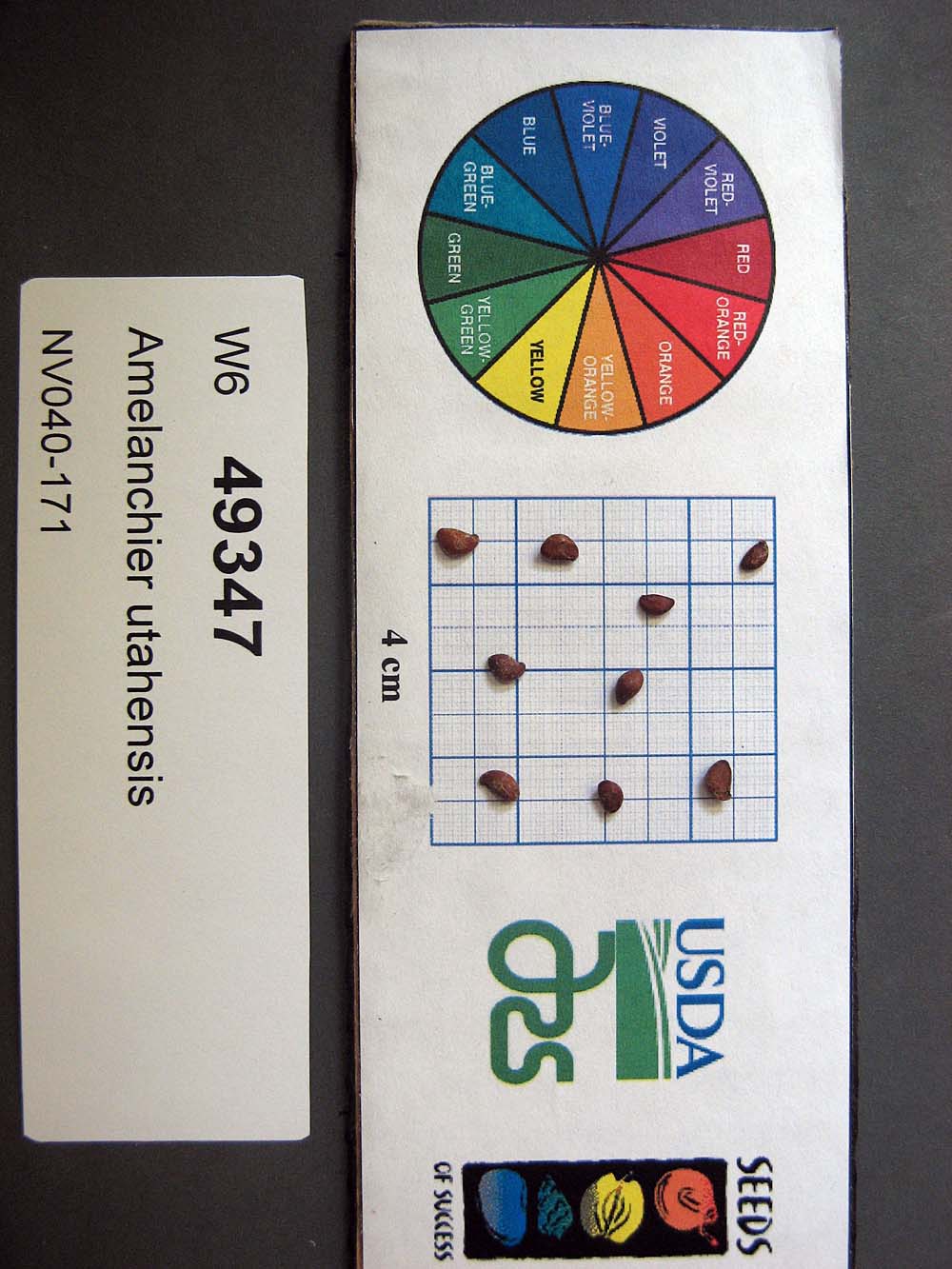 | | 2015 | COLLECTED | 07/29/2013 | Schell Creek Range. Horse and Cattle Camp Loop, ~0.9mi by air west of Summit Spring. | 38.87238000, -114.69070000 | 2366 | Grazed hills, 12 degree southeast slope. Igneous derived soil, silty/sandy texture, 10YR very dark brown color. | Wild material | | 1925467 | WLP 2273 |
| 4 | WLP 2271 | NV040-177 | Amelanchier utahensis Koehne | United States | NA |  | | 2015 | COLLECTED | 07/31/2013 | Egan Range. ~3.4mi by air west of intersection with Highway 50 on unnamed two-track road. | 39.31133000, -115.06837000 | 2332 | Grazed mountains, 6 degrees east facing slope. Igneous derived soil, silty, 10YR 4/3 brown in color. | Wild material | | 1925139 | WLP 2271 |
| 5 | WLP 2241 | AMUT-SOS-UT931-597-EMERY-13 | Amelanchier utahensis Koehne | Utah, United States | NA |  | | 2014 | COLLECTED | 07/24/2013 | From 24 turn east on first road past Goblin Valley turn off [1010]. Follow road until you come to the GPS point [ca. 11 air miles southeast]. Population is on both sides of the road. | 38.51628000, -110.42483000 | 1619 | Grazed desert, Colorado Plateau. Slight north-northeast slope, 0-5 degrees. Yellowish red sandy soil, 5YR 5/6. | Wild material | | 1918273 | WLP 2241 |
| 6 | WLP 2236 | AMUT-SOS-WY030-129-CARBON-13 | Amelanchier utahensis Koehne | United States | NA | 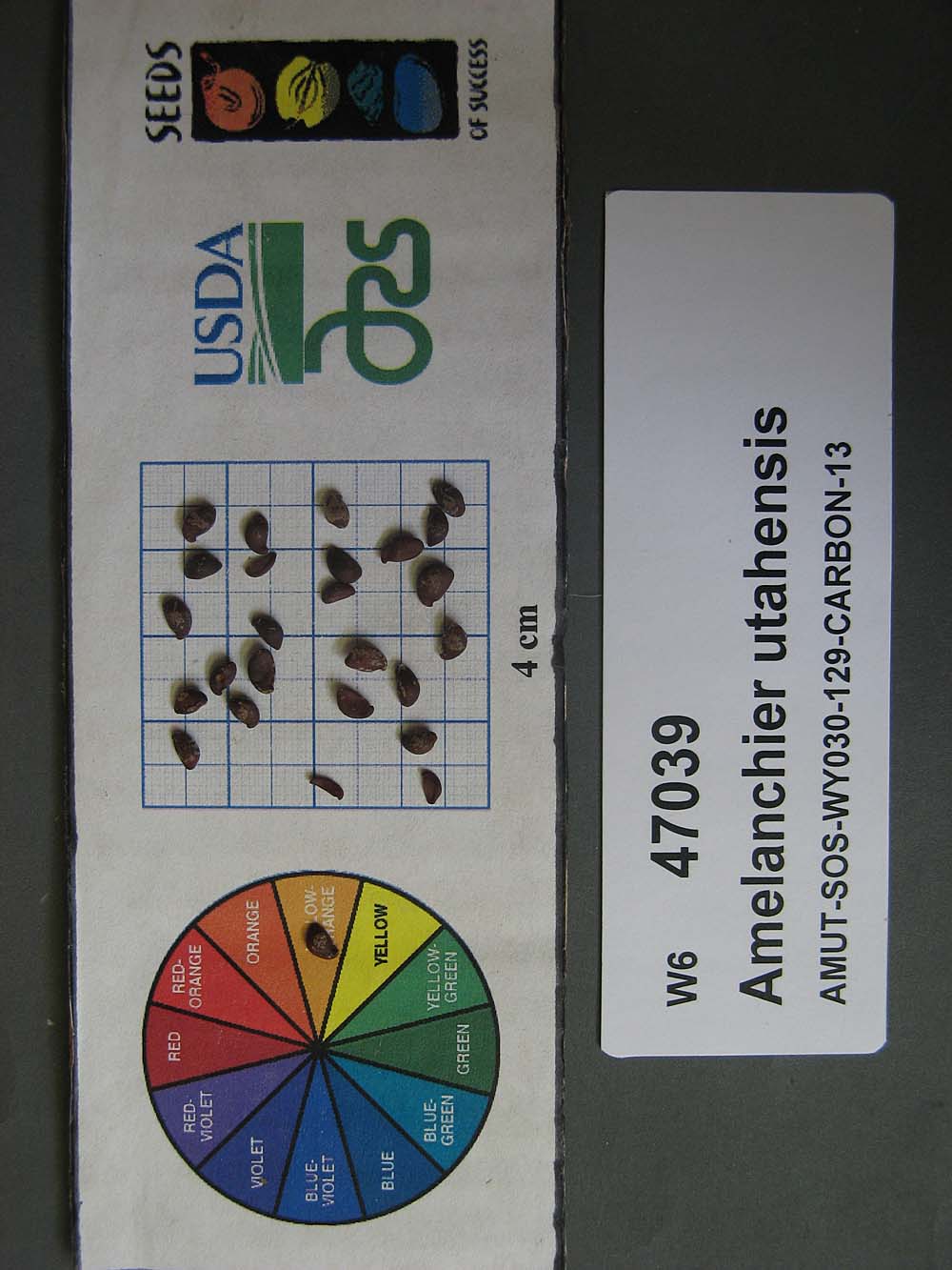 | | 2014 | COLLECTED | 08/05/2013 | 789 to Wild Horse Road. Left side of road on hillside. T14N R91W Sec 13. | 41.17748000, -107.58712000 | 2137 | Grazed rolling hills with 15-35 degree slopes. Dark olive brown clay soil with sandstone geology. | Wild material | | 1916785 | WLP 2236 |
| 7 | WLP 2162 | AMUT-SOS-CP1-028-10 | Amelanchier utahensis Koehne | Colorado, United States | NA |  | | 2011 | COLLECTED | 01/29/2010 | Nine miles SW of Crawford. North Rim of Gunnison Canyon/Black Canyon - Green Mountain area. Take Black Canyon Rd to C77 and travel west for approximately six miles. | 38.62325000, -107.76622220 | 2428 | Grazed mesa, 5-10 degree north facing slope. Silty soil texture, 10YR 2/2 soil color. | Wild material | | 1865123 | WLP 2162 |
| 8 | WLP 2163 | AMUT-SOS-UT030-149 | Amelanchier utahensis Koehne | Utah, United States | NA |  | | 2011 | COLLECTED | 08/02/2010 | Mud Springs Road | 37.93083000, -111.18790000 | 1858 | Pinyon-juniper woodland on grazed mountain. Straighcliffs formation geology with clay/sand soil tesxture and 7.5 YR 3/3 soil color. | Wild material | | 1865124 | WLP 2163 |
| 9 | WLP 2164 | AMUT-SOS-UT030-152-10 | Amelanchier utahensis Koehne | Utah, United States | NA |  | | 2011 | COLLECTED | 08/04/2010 | Smokey Mountain Road near Escalante town, roadside | 37.58208333, -111.61022220 | 2114 | Pinyon-juniper woodland on grazed mountain. Slight east facing slope, 0-2 degrees. Straighcliffs formation geology with clay/sand soil tesxture and 10 YR 5/4 soil color. | Wild material | | 1865125 | WLP 2164 |
| 10 | WLP 2154 | AMUT-SOS-NV040-104-10 | Amelanchier utahensis Koehne | Nevada, United States | NA |  | | 2011 | COLLECTED | 08/12/2010 | Wilson Creek Range. Mount Wilson Scenic Byway. 1.68 miles by air South of Tunnel Spring. | 38.26750000, -114.35463890 | 2448 | Mountain woodland, 12 degree southeast slope. Welded tuff geology with Silt/Sand/Organic organic soil; 10YR 2/2 Very dark brown. | Wild material | | 1861152 | WLP 2154 |
| 11 | WLP 2155 | AMUT-SOS-UT931-265-10 | Amelanchier utahensis Koehne | Utah, United States | NA |  | | 2011 | COLLECTED | 08/11/2010 | Take road north of Ft Duchesne, from Hwy 40 to Elk Horn Ranger Station, into USFS land. Make left at fork near old ranger station and continue on Elkhorn Loop Road up into switchbacks. | 40.57438889, -109.99266670 | 2496 | Mountain shrub to aspen community in grazed hills. South facing slope, 10-30 degrees. Sandy, dark brown soil. | Wild material | | 1861153 | WLP 2155 |
| 12 | WLP 2128 | UT931-102 | Amelanchier utahensis Koehne | Utah, United States | NA |  | | 2009 | COLLECTED | 10/15/2008 | Along Long Ridge Road (FR149) about 3 miles after turn off from Reservation Ridge Road (FR81), along road on south side of ridge. | 40.01978000, -110.90794000 | | Douglas-fir/mountain shrub community; land used for rangeland and recreation; soil is clay, white in color. South facing 75% slope. | Wild material | Height: 6' | 1808219 | WLP 2128 |
| 13 | WLP 2077 | 193335 | Amelanchier utahensis Koehne | Colorado, United States | NA |  | | 2005 | COLLECTED | 07/31/2002 | Ecoregion 18, Moffat County. Cedar mountain. | 40.57208000, -107.61431000 | 2173 | Grazed foothills, 20 degree southern slope. Soil type: silt - 10YR3/2 | Wild material | Shrub 2 meters tall. | 1674098 | WLP 2077 |
| 14 | PI 675196 | UT933-118 | Pseudoroegneria spicata (Pursh) Á. Löve | Utah, United States | W6 | 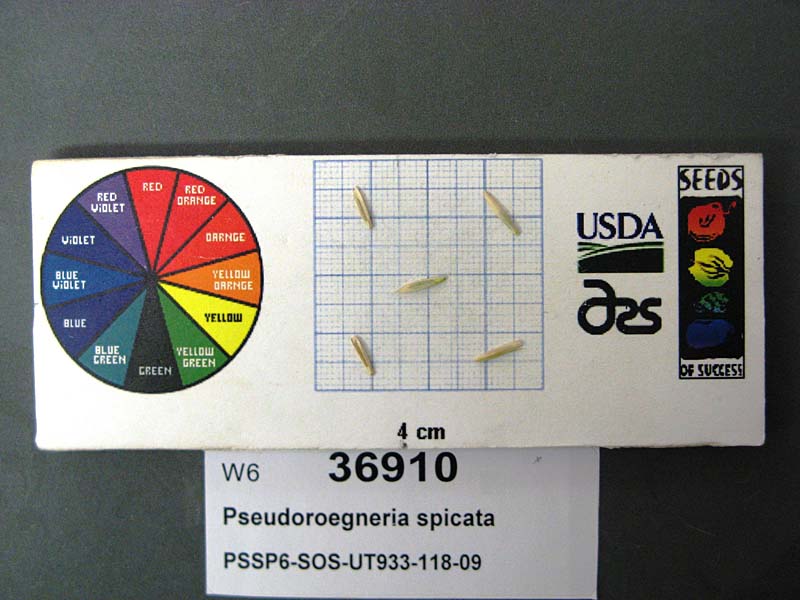 | | 2009 | | | | | | | Wild material | | 1827218 | PI 675196 |
| 15 | W6 62607 | AZ010-59 | Purshia tridentata (Pursh) DC. | Arizona, United States | W6 |  | | 2025 | | | | | | | Wild material | Shrubs had dropped seed so did cut tests determining if collecting off the ground was an option. Viability very good so made the collection | 2192826 | W6 62607 |
| 16 | W6 62608 | AZ010-60 | Purshia mexicana (D. Don) S. L. Welsh var. stansburyana (Torr.) S. L. Welsh | Arizona, United States | W6 |  | | 2025 | | | | | | | Wild material | Received as Purshia Stansburyana. Many plants along the rd up to Black Rock Mountain. plants were variable in size, from 2 ft to over 7 ft tall. Mostly collected along rd but some went a ways back into the landscape. Lots and lots of crab spiders in the collection from 7/3. | 2192827 | W6 62608 |
| 17 | W6 62610 | AZ010-62 | Heliomeris multiflora Nutt. | Arizona, United States | W6 |  | | 2025 | | | | | | | Wild material | On roadsides and cliffs along rd | 2192829 | W6 62610 |
| 18 | W6 61803 | NV010-13 | Ceanothus velutinus Douglas | Nevada, United States | W6 |  | | 2024 | | | | | | | Wild material | NA | 2168250 | W6 61803 |
| 19 | W6 61804 | NV010-14 | Chrysothamnus viscidiflorus (Hook.) Nutt. | Nevada, United States | W6 |  | | 2024 | | | | | | | Wild material | NA | 2168251 | W6 61804 |
| 20 | W6 59921 | CP3-113 | Eriocoma thurberiana (Piper) Romasch. | Utah, United States | W6 |  | | 2021 | | | | | | | Wild material | green grass with gold heads. awns bend out at all angles. | 2132500 | W6 59921 |
| 21 | W6 59650 | UT020-92 | Leymus cinereus (Scribn. & Merr.) Á. Löve | Utah, United States | W6 | | | 2021 | | | | | | | Wild material | Perennial bunchgrass forming tall, sprawling clumps with numerous inflorescences. Plant height averaged 5 ft and plants here appeared healthy, but cattle grazing was particularly heavy in the area, so most of the plants had been trampled upon and chewed down. Population densest in the flat, open, wet bottom of the canyon, and sparser along the drier surrounding toe-slopes. | 2120815 | W6 59650 |
| 22 | W6 59683 | WY050-229 | Balsamorhiza incana Nutt. | Wyoming, United States | W6 | | | 2021 | | | | | | | Wild material | Yellow flowers with deeply lobed leaves. | 2120848 | W6 59683 |
| 23 | NA 88443 | NV040-344 | Rosa woodsii Lindl. | Nevada, United States | NA |  | | 2019 | | | | | | | Wild material | | 2094595 | NA 88443 |
| 24 | OPGC 7507 | NV040-332 | Penstemon pachyphyllus A. Gray ex Rydb. var. congestus (M. E. Jones) N. H. Holmgren | Nevada, United States | OPGC |  | | 2019 | | | | | | | Wild material | | 2094584 | OPGC 7507 |
| 25 | OPGC 7508 | NV040-338 | Penstemon pachyphyllus A. Gray ex Rydb. var. congestus (M. E. Jones) N. H. Holmgren | Nevada, United States | OPGC |  | | 2019 | | | | | | | Wild material | | 2094589 | OPGC 7508 |
| 26 | OPGC 7856 | WY030-254 | Senecio integerrimus Nutt. var. exaltatus (Nutt.) Cronquist | Wyoming, United States | OPGC |  | | 2019 | | | | | | | Wild material | | 2094533 | OPGC 7856 |
| 27 | OPGC 7863 | NV040-322 | Packera multilobata (Torr. & A. Gray) W. A. Weber & Á. Löve | Nevada, United States | OPGC |  | | 2019 | | | | | | | Wild material | | 2094574 | OPGC 7863 |
| 28 | W6 56723 | WY030-250 | Grindelia squarrosa (Pursh) Dunal | Wyoming, United States | W6 |  | | 2019 | | | | | | | Wild material | | 2094529 | W6 56723 |
| 29 | W6 56729 | WY030-257 | Allium acuminatum Hook. | Wyoming, United States | W6 |  | | 2019 | | | | | | | Wild material | | 2094535 | W6 56729 |
| 30 | W6 56772 | NV040-326 | Leymus cinereus (Scribn. & Merr.) Á. Löve | Nevada, United States | W6 |  | | 2019 | | | | | | | Wild material | | 2094578 | W6 56772 |
| 31 | W6 56555 | UT020-50 | Crepis acuminata Nutt. | Utah, United States | W6 |  | | 2019 | | | | | | | Wild material | | 2092058 | W6 56555 |
| 32 | W6 56557 | UT020-52 | Eriogonum umbellatum Torr. | Utah, United States | W6 |  | | 2019 | | | | | | | Wild material | | 2092060 | W6 56557 |
| 33 | OPGC 7342 | CP4-19 | Tetraneuris ivesiana Greene | Utah, United States | OPGC |  | | 2018 | | | | | | | Wild material | | 1970593 | OPGC 7342 |
| 34 | OPGC 7786 | CA170-186 | Packera multilobata (Torr. & A. Gray) W. A. Weber & Á. Löve | California, United States | OPGC | | | 2018 | | | | | | | Wild material | | 1964182 | OPGC 7786 |
| 35 | W6 53605 | CA170-187 | Chaenactis stevioides Hook. & Arn. | California, United States | W6 | | | 2018 | | | | | | | Wild material | | 1964183 | W6 53605 |
| 36 | W6 53607 | CA170-189 | Monardella odoratissima Benth. | California, United States | W6 | | | 2018 | | | | | | | Wild material | | 1964185 | W6 53607 |
| 37 | W6 53505 | WY030-202 | Purshia tridentata (Pursh) DC. | Wyoming, United States | W6 | | | 2018 | | | | | | | Wild material | | 1958240 | W6 53505 |
| 38 | W6 53506 | WY030-203 | Artemisia tridentata Nutt. subsp. wyomingensis Beetle & A. L. Young | Wyoming, United States | W6 | | | 2018 | | | | | | | Wild material | | 1958241 | W6 53506 |
| 39 | W6 50233 | NV040-221 | Hulsea heterochroma A. Gray | Nevada, United States | W6 |  | | 2015 | | | | | | | Wild material | | 1927537 | W6 50233 |
| 40 | W6 43407 | UT931-236 | Sporobolus airoides (Torr.) Torr. | Utah, United States | W6 | 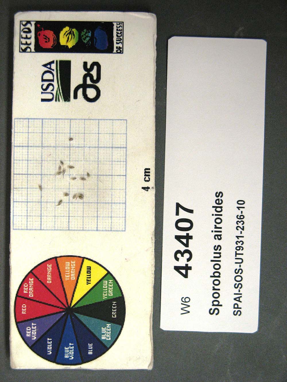 | | 2012 | | | | | | | Wild material | | 1898470 | W6 43407 |
| 41 | W6 36723 | UT931-89 | Eriogonum bicolor M. E. Jones | Utah, United States | W6 | 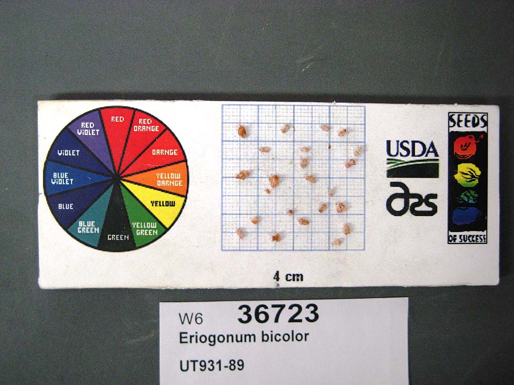 | | 2009 | | | | | | | Wild material | | 1826972 | W6 36723 |
| 42 | W6 35410 | UT933-28 | Hesperostipa comata (Trin. & Rupr.) Barkworth | Utah, United States | W6 |  | | 2009 | | | | | | | Wild material | Height: 3.5 feet. | 1808235 | W6 35410 |
| 43 | Ames 31329 | FRAN2-SOSUT-931-BEND63-06 | Fraxinus anomala Torr. ex S. Watson | Utah, United States | NC7 | 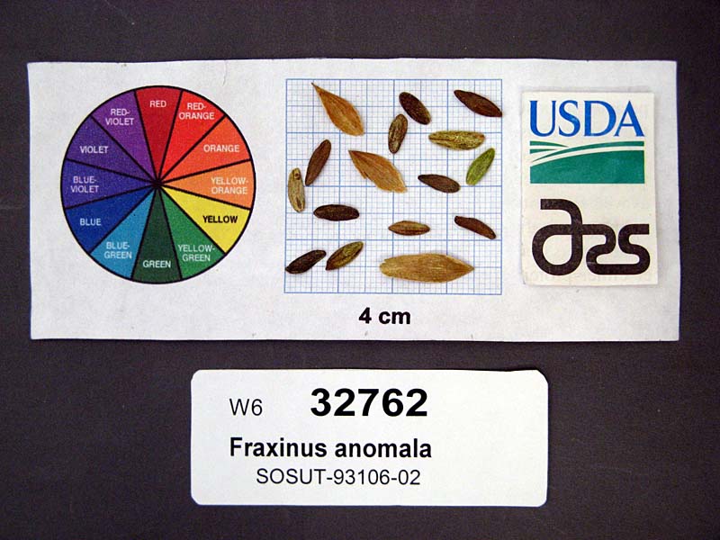 | | 2007 | COLLECTED | 06/22/2006 | Behind the reef on Temple Mtn Road - Sam Rafael Swell. Usually around washes. Emery county, UT. | 38.66703000, -110.68550000 | 1673 | Along washes and draws up to sandstone walls of canyon. | Wild material | | 1740486 | Ames 31329 |
| 44 | W6 27094 | RBG-25 | Erigeron divergens Torr. & A. Gray | Utah, United States | W6 | 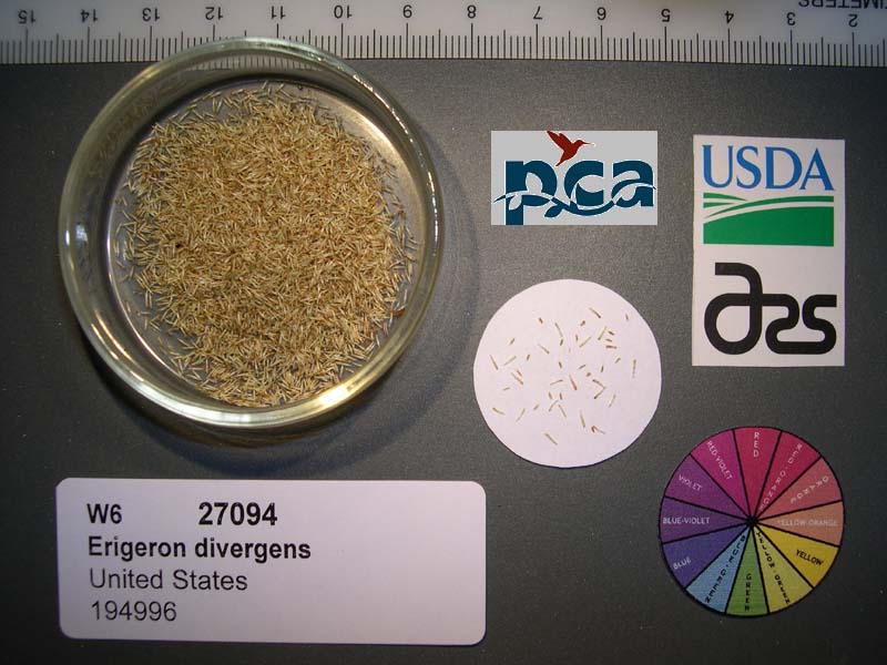 | | 2005 | | | | | | | Wild material | Forb 0.3 meters tall. | 1674131 | W6 27094 |