| 0 | OPGC 5812 | 210638 | Lobelia cardinalis L. | Texas, United States | OPGC |  | | 2021 | | | | | | | Wild material | | 1895309 | OPGC 5812 |
| 1 | OPGC 8303 | CBG-10439 | Lobelia cardinalis L. | Indiana, United States | OPGC | | | 2021 | | | | | | | Wild material | | 2120081 | OPGC 8303 |
| 2 | OPGC 8184 | NEWFS-484 | Lobelia cardinalis L. | Massachusetts, United States | OPGC | | | 2021 | | | | | | | Wild material | Flower 20-45mm long; corolla fenestrate. Corolla red (rarely pink or white); flowers 30-45mm long; filament tube 24-33mm long. | 2115668 | OPGC 8184 |
| 3 | OPGC 5948 | CBG-1911 | Lobelia cardinalis L. | Missouri, United States | OPGC |  | | 2021 | | | | | | | Wild material | | 1908895 | OPGC 5948 |
| 4 | OPGC 7946 | NEWFS-246 | Lobelia cardinalis L. | Massachusetts, United States | OPGC |  | | 2019 | | | | | | | Wild material | | 2098174 | OPGC 7946 |
| 5 | OPGC 6391 | CBG-7403 | Lobelia cardinalis L. | Washington, United States | OPGC |  | | 2017 | | | | | | | Wild material | | 1954824 | OPGC 6391 |
| 6 | OPGC 6392 | CBG-7406 | Lobelia cardinalis L. | Colorado, United States | OPGC |  | | 2017 | | | | | | | Wild material | | 1954825 | OPGC 6392 |
| 7 | OPGC 6119 | MARSB-088 | Lobelia cardinalis L. | New York, United States | OPGC | 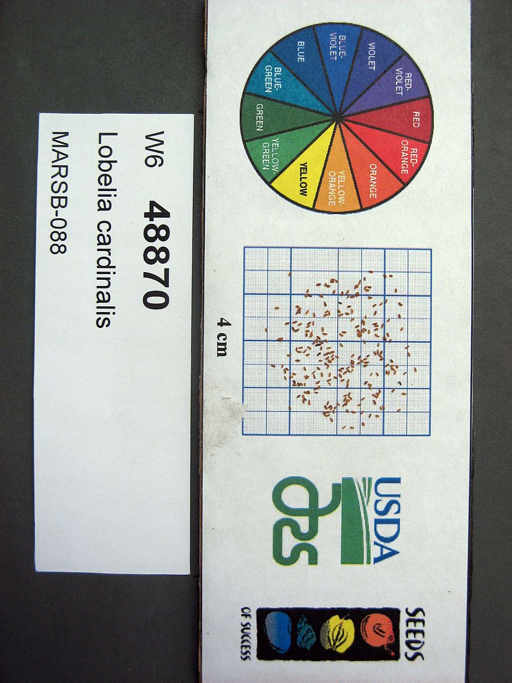 | | 2015 | | | | | | | Wild material | | 1922920 | OPGC 6119 |
| 8 | OPGC 5106 | 20140386*A | Lobelia sp. | Delaware, United States | OPGC | | | 2016 | DONATED | 02/15/2016 | | | | | | Identified as Lobelia elongata. | 1966645 | OPGC 5106 |
| 9 | NA 89092 | 2024RM-TK-005 | Ilex amelanchier M. A. Curtis ex Chapm. | Florida, United States | NA | | | 2024 | COLLECTED | 09/29/2024 | Yellow River Water Management Area: found in an area where an unnamed, unpaved road dead ends near the Yellow River. This unpaved road is accessed from Old River Road to the east near the junction with Shockley Springs Road. Plants are accessed by foot along the edge of the river and associated wetland depressions to the west of the road. | 30.86946200, -86.59349000 | 23 | Plants growing in seasonally inundated swamp habitats associated with the Yellow River. Plants are emergent during portions of the year, primarily during the growing season. During this time of collection, water had receded from the wetlands but the area was still quite wet with many tiny stream rivulets still draining. Slope: 0 percent. Aspect: N/A. Geology: The underlying geology of this area is the Alum Bluff Group of Miocene origin. It includes the Chipola Formation, Oak Grove Sand, Shoal River Formation, Choctawhatchee Formation and the Jackson Bluff Formation. The formations included in this group are generally defined based on their molluscan faunas and stratigraphic position. Puri (1953) described sediment facies as they relate to the formations of the Alum Bluff Group. These sediments are lithologically distinct as a group, not as individual units. The Alum Bluff Group crops out or is beneath a thin overburden in the western panhandle from river valleys in Okaloosa County eastward to western Jackson County. The Alum Bluff Group consists of clays, sands and shell beds which may vary from fossiliferous, sandy clays to unfossiliferous sands and clays and occasional carbonate beds. Mica is a common constituent and glauconite and phosphate occur sporadically. Induration varies from essentially nonindurated in sands to well indurated in carbonate lenses. Colors range from cream to olive gray with mottled reddish brown in weathered sections. Sand grain size varies from very fine to very coarse with sporadic occurrences of gravel. These sediments generally have low permeabilities and are part of the intermediate confining unit/aquifer system. (Source: USGS Florida Geologic Map Data). Soils: The surface soil profile of this area is primarily Kinston, Johnston, and Bibb soils, frequently flooded. Kinston Series soils are poorly drained, alluvial, fine-loamy, siliceous, and acid soils of flood plains. They are peaty to loamy friable, slightly sticky and slightly plastic in the upper 0 to 7.5 cm of the strata with less sand and more silt-loam in progressively deeper strata. The Johnston Series consists of very deep, very poorly drained coarse-loamy, siliceous, active, acid, thermic Cumulic Humaquepts. The upper 0-75 cm is black, mucky loam that is friable and very strongly acid. The lower strata to 1.75 m are dark gray, loamy fine sand, single grained, loose and very strongly a).id. The Bibb Series soils consist of very deep, poorly drained, moderately permeable soils on flood plains of streams in the Southern Coastal Plain (133A) Major Land Resource Area. They formed in stratified loamy and sandy alluvium that are commonly and frequently flooded and water runs off the surface very slowly. Slopes range from 0 to 2 percent. (Source: California Soil Resource Lab/NRCS Official Soil Series Descriptions). EPA Ecoregion (Level III): Southeastern Plains (65). EPA Ecoregion (Level IV): Southeastern Floodplains and Low Terraces (65p). | Wild material | | 2169056 | NA 89092 |
| 10 | OPGC 8498 | NCBG-398 | Helenium autumnale L. | Virginia, United States | OPGC | | | 2021 | | | | | | | Wild material | | 2132882 | OPGC 8498 |
| 11 | OPGC 8499 | NCBG-489 | Hibiscus moscheutos L. | Maryland, United States | OPGC | | | 2021 | | | | | | | Wild material | | 2132887 | OPGC 8499 |
| 12 | W6 60025 | NCBG-532 | Decodon verticillatus (L.) Elliott | Maryland, United States | W6 | | | 2021 | | | | | | | Wild material | | 2132907 | W6 60025 |
| 13 | WLP 1747 | RJL2021PA-005 | Rosa palustris Marshall | Pennsylvania, United States | NA | | | 2021 | COLLECTED | 11/20/2021 | Plants growing in wetland seeps surrounded by mown hayfields just west of the Middle Branch White Clay Creek in Goddard Park, West Grove Pennsylvania, off of Wickerton Road, Chester County. | 39.80090528, -75.82383250 | 100 | Habitat Notes: Plants are growing in permanently saturated to moist soils in wetland habitats. Plants appear to be obligate wetland plants and are found only in permanent to nearly permanent wet habitats observed. Generally, the shrubs are found in part shade to full sun. Soils: Soils found in the areas where this collection was made are comprised primarily of Hatboro silt loam (Ha). Hatboro silt loam consists of very deep and poorly drained soils formed in deposited alluvium derived from metamorphic and crystalline rock. They are on flood plains. Slopes range from 0 to 3 percent. Slope: 0 to 3% Aspect: Variable. | Wild material | | 2123715 | WLP 1747 |
| 14 | W6 58597 | MARSB-457 | Carex crinita Lam. | New Jersey, United States | W6 | | | 2021 | | | | | | | Wild material | Densely tufted, 4-16 dm. stems surpassing the leaves. spikes loosely spreading to drooping on slender peduncles. perigynia silky green, 2-ribbed. achene lenticular. | 2113527 | W6 58597 |
| 15 | W6 58600 | MARSB-466 | Carex lupulina Muhl. ex Willd. | New Jersey, United States | W6 | | | 2021 | | | | | | | Wild material | stems 2-13 dm, smooth, solitary or few together from long, dark, scaly, sympodial rhizomes.basal sheaths reddish to brownish. terminal spike staminate. pistillate spikes 2-5, ascending, ovoid to cylindric. perigynia smooth and shiny, strongly 13-22-nerved. | 2113530 | W6 58600 |
| 16 | W6 58601 | MARSB-470 | Carex lurida Wahlenb. | New Jersey, United States | W6 | | | 2021 | | | | | | | Wild material | stem leaf blade widthû4–13 mmûLowest bract sheathûthe lowest bract has a sheath longer than four millimetersûthe lowest bract has no sheath (or a very short sheath up to four millimeters in length)ûSpike on stalkûthe lowest spike on the plant has a peduncleûTop spikeûthe uppermost spike contains only staminate flowersûPerigynium hairsûthe perigynium has no hairsûPerigynium lengthû6–10.8 mmûLeaf sheath colorûthe leaf sheath is tinted pink, red or purpleûLeaf blade textureûthe leaf blade is smooth and hairless, or rough and sandpaperyûPerigynium beak teethûthe perigynium beak is divided at the top into two teeth | 2113531 | W6 58601 |
| 17 | W6 57474 | NCBG-294 | Mikania scandens (L.) Willd. | Maryland, United States | W6 |  | | 2019 | | | | | | | Wild material | | 2098398 | W6 57474 |
| 18 | NA 88112 | MARSB-467 | Viburnum dentatum L. | New Jersey, United States | NA | | | 2019 | | | | | | | Wild material | | 2097634 | NA 88112 |
| 19 | W6 57163 | MARSB-377 | Eupatorium perfoliatum L. | New Jersey, United States | W6 | | | 2019 | | | | | | | Wild material | | 2097602 | W6 57163 |
| 20 | WLP 171 | NACPEC19-063 | Itea virginica L. | Georgia, United States | NA | | | 2019 | COLLECTED | 09/15/2019 | Walker County; Lula Lake Land Trust: Lula Lake Land Trust Falls: West Side of Falls | 34.93319200, -85.37178900 | 477 | Stream bank, mesic wood forest | Wild material | | 2110485 | WLP 171 |
| 21 | OPGC 7488 | CBG-9423 | Ruellia strepens L. | Kansas, United States | OPGC |  | | 2019 | | | | | | | Wild material | | 2092797 | OPGC 7488 |
| 22 | OPGC 7853 | CBG-9350 | Mimulus ringens L. | Kansas, United States | OPGC |  | | 2019 | | | | | | | Wild material | SOS 7th transfer. | 2092782 | OPGC 7853 |
| 23 | W6 54704 | NCBG-362 | Alnus serrulata (Aiton) Willd. | Virginia, United States | W6 |  | | 2018 | | | | | | | Wild material | Alnus serrulata | 1965930 | W6 54704 |
| 24 | W6 54052 | MARSB-378 | Scirpus cyperinus (L.) Kunth | New Jersey, United States | W6 |  | | 2018 | | | | | | | Wild material | Scirpus cyperinus | 1964768 | W6 54052 |
| 25 | Ames 33232 | Index Seminum 9 | Rhus typhina L. | Michigan, United States | NC7 | | | 2016 | COLLECTED | 10/23/2014 | Along Woodbury Road, Rose Lake State Wildlife Research Area, T5N R1E Sec. 20, Shiawassee County | 42.81640000, -84.35390000 | 257 | Old flooded field. | Wild material | | 1936482 | Ames 33232 |
| 26 | Ames 34697 | MARSB-080 | Cornus amomum Mill. | Pennsylvania, United States | NC7 |  | | 2015 | COLLECTED | 09/11/2013 | Allegheny National Forest -Minister Creek watershed just south of Minister. | 41.61593000, -79.15109000 | 369 | | Wild material | | 1922851 | Ames 34697 |
| 27 | Ames 32526 | 210742 | Helianthus maximiliani Schrad. | Texas, United States | NC7 |  | | 2011 | COLLECTED | 11/04/2003 | River Fern Court (generalizided locality information; more detail available upon request) | | | Creekside. Associated with Andropogon glomeratus, Eupatorium serotinum, Juniperus ashei, Lobelia cardinalis, Quercus buckleyi, Q. fusiformis, Smilax bona-nox, Sorghastrum nutans, and Toxicodendron radicans. | Wild material | | 1895289 | Ames 32526 |
| 28 | Ames 31089 | 704 | Fraxinus pennsylvanica Marshall | Pennsylvania, United States | NC7 |  | | 2011 | COLLECTED | 09/15/2011 | Cemetery Road and Hyers Road, near Spring Creek, Warren County. | 41.86500000, -79.52100000 | 422 | Floodplain forest. | Wild material | | 1891475 | Ames 31089 |
| 29 | Ames 30145 | JDC/FP/2009/031/181 | Fraxinus pennsylvanica Marshall | Wisconsin, United States | NC7 |  | | 2009 | COLLECTED | 09/22/2009 | Tower Hill State Park and Lower Wisconsin State Riverway (Helena Unit), SW 1/4 of SE 1/4 of Section 20 and SW 1/4 of NE 1/4 of Section 17, T8N, R4E, Spring Green Quad, Iowa County. | 43.15055556, -90.04166667 | 237 | Wisconsin River watershed/floodplain | Wild material | | 1819726 | Ames 30145 |