| 0 | GPRU 158 | OR010-359 | Prunus emarginata (Douglas) Eaton | Oregon, United States | GEN |  | | 2018 | | | | | | | Wild material | | 1967818 | GPRU 158 |
| 1 | GPRU 159 | OR010-370 | Prunus emarginata (Douglas) Eaton | Oregon, United States | GEN |  | | 2018 | | | | | | | Wild material | | 1967823 | GPRU 159 |
| 2 | GPRU 157 | CA350-56 | Prunus emarginata (Douglas) Eaton | California, United States | GEN | | | 2017 | | | | | | | Wild material | | 1946998 | GPRU 157 |
| 3 | WLP 2478 | OR010-262 | Prunus emarginata (Douglas) Eaton | Oregon, United States | NA |  | | 2015 | COLLECTED | 08/13/2014 | | | 1903 | | Wild material | | 1927063 | WLP 2478 |
| 4 | WLP 2475 | OR110-813 | Prunus emarginata (Douglas) Eaton | Oregon, United States | NA |  | | 2015 | COLLECTED | 08/20/2014 | | | 981 | | Wild material | | 1926774 | WLP 2475 |
| 5 | WLP 2426 | PREM-SOS-NV030-656-11 | Prunus emarginata (Douglas) Eaton | United States | NA |  | | 2012 | COLLECTED | 2011 | | | | | Wild material | | 1905134 | WLP 2426 |
| 6 | WLP 2386 | PREM-SOS-OR110-218-10 | Prunus emarginata (Douglas) Eaton | Oregon, United States | NA |  | | 2011 | COLLECTED | PRE 2011 | | | | . | Wild material | | 1861318 | WLP 2386 |
| 7 | WLP 2341 | ID930-B18 | Prunus emarginata (Douglas) Eaton | Idaho, United States | NA |  | | 2009 | COLLECTED | PRE 05/01/2009 | U.S. Forest Service land; about 11 miles north of Boise on Bogus Basin Road, then east on unmarked dirt road about 2 miles. | 43.71844000, -116.09766000 | 1657 | Open Pinus ponderosa/Pseudotsuga menziesii forest on mountain slope. Land generally used for recreation. Soil is light brown/tan sandy loam. | Wild material | | 1802197 | WLP 2341 |
| 8 | WLP 2482 | 342487 | Prunus emarginata (Douglas) Eaton | | NA |  | | 2008 | | | | | | | Wild material | | 1780209 | WLP 2482 |
| 9 | WLP 2322 | 266945 | Prunus emarginata (Douglas) Eaton | United States | NA | | | 2007 | COLLECTED | 07/20/2005 | Valley bottom, 61 meters from flowing stream; burned over in 1988, heavy grazing on large shrubs. Soil texture: Granular granite coarse in places, closer to the bottom it is runoff-deposited silt loam.Tan/brown soil. | | 427 | Slope 0-40 degrees, generally 22 degrees. Aspect: NW-SE. Soil texture: Granular grainite coarse in places, closer to the bottom it is runoff deposited silt loam.Tan/brown soil. | Wild material | Shrub, Height about: 0.9-3 m | 1728040 | WLP 2322 |
| 10 | WLP 2314 | 229986 | Prunus emarginata (Douglas) Eaton | California, United States | NA |  | | 2005 | COLLECTED | 08/11/2004 | | | 914 | Mixed conifer forest/open grassland; clay soil. | Wild material | Shrub 0.6-3.6 meters tall. | 1674395 | WLP 2314 |
| 11 | GPRU 169 | OR010-371 | Prunus virginiana L. | Oregon, United States | GEN |  | | 2018 | | | | | | | Wild material | | 1967824 | GPRU 169 |
| 12 | PI 656858 | R. leucodermis CA330-55 | Rubus leucodermis Douglas ex Torr. & A. Gray | California, United States | COR | 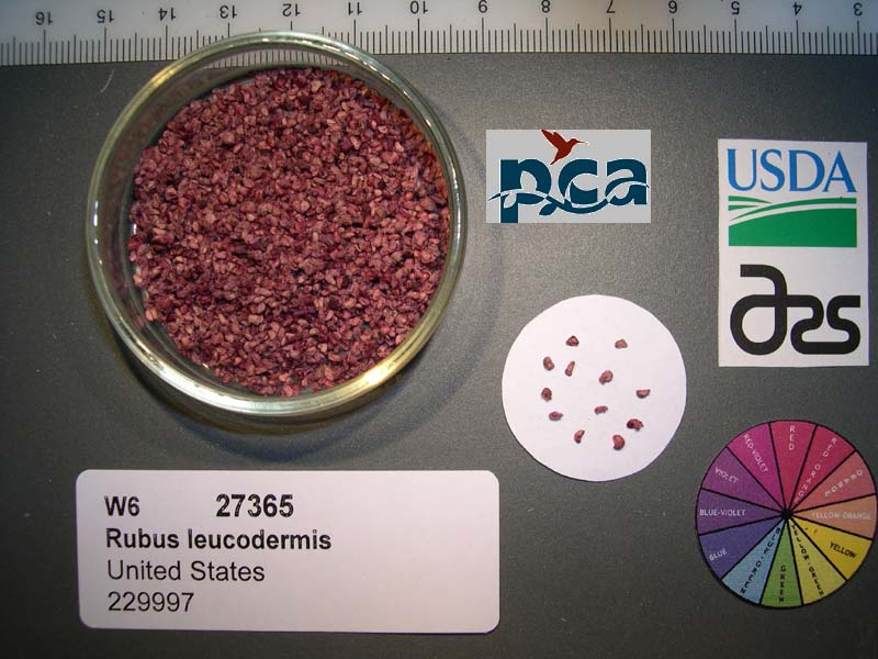 | | 2005 | COLLECTED | 08/11/2004 | | | 914 | Mixed conifer forest. Associated with douglas fir, jeffrey pine, Rubus ursinus, Bromus carinatus, Prunus emarginata, Eriogonum nudum. | Wild material | Seeds of Success (SOS) program germplasm. | 1674396 | PI 656858 |
| 13 | NA 88181 | OR110-1099 | Arctostaphylos patula Greene | Oregon, United States | NA | | | 2022 | | | | | | | Wild material | Leaves green on both sides, not glacous | 2138471 | NA 88181 |
| 14 | NA 88277 | OR110-1100 | Ceanothus velutinus Douglas | Oregon, United States | NA | | | 2022 | | | | | | | Wild material | Leaves leathery, veins prominent | 2138472 | NA 88277 |
| 15 | Ames 35231 | Va101 | Agastache parvifolia Eastw. | California, United States | NC7 |  | | 2019 | COLLECTED | 09/26/2019 | Area between Bogard Buttes and Caribou Wilderness approximately 20 miles west of Eagle Lake, on USGS Bogard Buttes 7.5-minute quad map T31N R7E including SW1/4 Sec. 11, NE1/4 Sec. 13, N1/2 Sec. 14 and NE1/4 NE1/4 Sec. 15, Lassen County | 40.55202800, -121.15888900 | 1980 | Margins and interiors of (+/-) dry, volcanic rock fields. Talus outcroppings, among boulders in fissures and on low ridges, across variable slopes (5-40 degrees) and aspects (east, west, south and northeast) with majority of sites in low-relief, except for irregular surfaces within lava fields. Elevations ranging from 1944 to 2023 (meters). Full sun or patchy shade. | Wild material | Perennial aromatic herb of mint family, basally branched with small, triangular crenate/serrate leaves and small pink-rose flowers in dense, elongate, terminal spikes. Plants in nature ranged from one to three feet high, few-branched up to ten or so branches. At time of collection (26 September 2019), plants were mostly late in phenology, though a few plants showed a flush of corolla color. | 2097767 | Ames 35231 |
| 16 | W6 55825 | OR110-1066 | Holodiscus discolor (Pursh) Maxim. | Oregon, United States | W6 |  | | 2018 | | | | | | | Wild material | Holodiscus discolor | 1970536 | W6 55825 |
| 17 | NA 87973 | OR080-36 | Amelanchier alnifolia (Nutt.) Nutt. ex M. Roem. | Oregon, United States | NA |  | | 2018 | COLLECTED | 07/22/2016 | Collected off the roadside of Hwy 22, approx. 10 miles south of the junction of hwy 22 and hwy 130. | 45.08000000, -123.63111000 | 109 | Valley bottom roadside with a mix of conifer trees as dominant species (most likely planted), deciduous trees, as well as shrubby understory. Additional shrub and grass species including invasives such as Rubus armeniacus. Slight slopes, 0-5 degrees. Basalt derived clay soil. | Wild material | | 1957619 | NA 87973 |
| 18 | WLP 2148 | AMAL2-SOS-ID931-150-09 | Amelanchier alnifolia (Nutt.) Nutt. ex M. Roem. | Idaho, United States | NA |  | | 2010 | COLLECTED | 08/08/2009 | Sawtooth National Forest: Baumgartner campground. | 43.60127000, -115.06990000 | 1472 | Wilderness; land used for recreation. Mountain drainage, 15% slope; granitic sediments in fluvial deposits. Soil texture sand; color medium/dark brown. | Wild material | | 1842635 | WLP 2148 |
| 19 | W6 35210 | ID931-52 | Achillea millefolium L. | Idaho, United States | W6 |  | | 2009 | | | | | | | Wild material | | 1802192 | W6 35210 |
| 20 | W6 35215 | ID931-57 | Chaenactis douglasii (Hook.) Hook. & Arn. | Idaho, United States | W6 |  | | 2009 | | | | | | | Wild material | | 1802196 | W6 35215 |
| 21 | W6 35222 | ID931-63 | Eriogonum umbellatum Torr. | Idaho, United States | W6 | 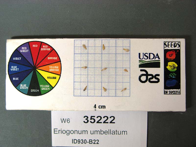 | | 2009 | | | | | | | Wild material | | 1802202 | W6 35222 |
| 22 | W6 35224 | ID931-65 | Chaenactis douglasii (Hook.) Hook. & Arn. | Idaho, United States | W6 | 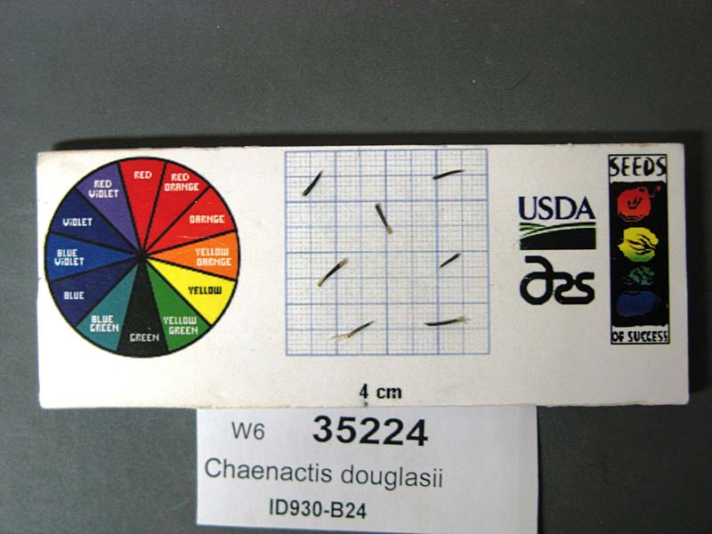 | | 2009 | | | | | | | Wild material | | 1802204 | W6 35224 |
| 23 | WLP 2292 | ID930-B20 | Mahonia repens (Lindl.) G. Don | Idaho, United States | NA |  | | 2009 | COLLECTED | 08/09/2007 | U.S. Forest Service land; about 11 miles north of Boise on Bogus Basin Road, then east on unmarked dirt road about 1 mile. | 43.73605000, -116.10083000 | 1693 | Open Pinus ponderosa/Pseudotsuga menziesii forest on mountain slope. Land generally used for recreation. Soil is light brown/tan sandy loam. | Wild material | | 1802200 | WLP 2292 |