| 0 | PI 495908 | 23A | Rhus aromatica Aiton var. trilobata (Nutt.) A. Gray | Colorado, United States | NC7 | | | 1984 | COLLECTED | 08/21/1984 | Along Rt 119 between I-70 and Central City, about 3.2 km from I-70 | 39.76350200, -105.42591700 | 2462 | | Wild material | Plant spreading, low-growing, deciduous, fairly heavily fruited. | 1390844 | PI 495908 |
| 1 | PI 477981 | 'Konza' | Rhus aromatica Aiton var. serotina (Greene) Rehder | Kansas, United States | NC7 |  | | 1983 | COLLECTED | 1958 | Konza Prairie Natural Area just south of Manhattan, Manhattan Quad. | 39.09300000, -96.54680000 | 434 | Limestone break. | Wild material | Released by the USDA NRCS Plant Materials Center, Manhattan, KS. Multiple use conservation plant: windbreaks, cover on droughty soils, screens from noise and eyesores, wildlife food and cover, ornamental on highways and parks and as snow entrapment plant. Grows to a height of 10 feet with orange to red fall color with orange red fruits in fall. Drought tolerant. Initial evaluation at Manhattan consisted of 20 accessions representing native collections from Wyoming, Nebraska, Missouri, Kansas, and Oklahoma. 'Konza' exhibited the least amount of leaf rust and foliar insect damage. | 1372917 | PI 477981 |
| 2 | Ames 36163 | AS/RA/2023/069/279 | Rhus aromatica Aiton | Illinois, United States | NC7 | 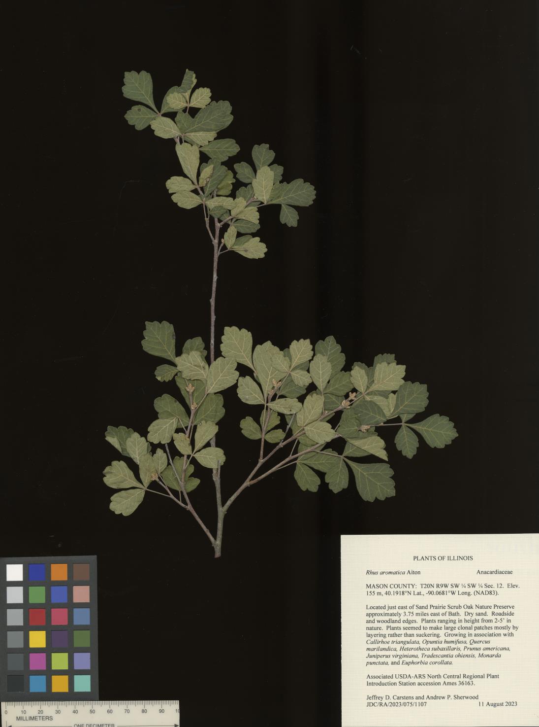 | | 2023 | COLLECTED | 08/11/2023 | Located just east of Sand Prairie Scrub Oak Nature Preserve approximately 3.75 miles east of Bath, T20N R9W SW 1/4 SW 1/4 Sec. 12. | 40.19175000, -90.06813000 | 155 | Dry sand. Roadside and woodland edges. | Wild material | Plants ranging in height from 2-5' in nature. Plants seemed to make large clonal patches mostly by layering rather than suckering. | 2158368 | Ames 36163 |
| 3 | Ames 34206 | JDC/RA/2018/045/858 | Rhus aromatica Aiton | Missouri, United States | NC7 |  | | 2018 | COLLECTED | 05/24/2018 | Drury-Mincy Conservation Area along Bear Cave Trail just off Gunnison Road, T22N R20W NW 1/4 Sec. 21. | 36.54492100, -93.11595600 | 330 | Glade. Open woods. | Wild material | Plants ranging in size (variable due to recent prescribed burning) from 2-6' in height. Fruit maturity variable at time of collection (25 May 2018) from bright red and readily shattering to rather green. | 1963389 | Ames 34206 |
| 4 | Ames 34288 | NM018-05 | Rhus aromatica Aiton var. trilobata (Nutt.) A. Gray | New Mexico, United States | NC7 |  | | 2017 | COLLECTED | 07/02/2015 | Lower Taos Canyon just north of Taos Junction Bridge approximately 7.0 miles west, southwest of Ranchos De Taos | 36.33861000, -105.72727000 | 1897 | | Wild material | | 1947002 | Ames 34288 |
| 5 | W6 49307 | OR110-724 | Rhus aromatica Aiton var. trilobata (Nutt.) A. Gray | Oregon, United States | W6 |  | | 2015 | | | | | | | Wild material | | 1925325 | W6 49307 |
| 6 | W6 47525 | WY932A-134 | Rhus aromatica Aiton var. trilobata (Nutt.) A. Gray | United States | W6 |  | | 2014 | | | | | | | Wild material | | 1918428 | W6 47525 |
| 7 | W6 46925 | WY090-112 | Rhus aromatica Aiton var. trilobata (Nutt.) A. Gray | Wyoming, United States | W6 | | | 2013 | | | | | | | Wild material | | 1914486 | W6 46925 |
| 8 | W6 46927 | WY020-29 | Rhus aromatica Aiton var. trilobata (Nutt.) A. Gray | Wyoming, United States | W6 | | | 2013 | | | | | | | Wild material | | 1914488 | W6 46927 |
| 9 | W6 43892 | AZ010-41 | Rhus aromatica Aiton var. trilobata (Nutt.) A. Gray | Arizona, United States | W6 |  | | 2012 | | | | | | | Wild material | | 1900275 | W6 43892 |
| 10 | W6 43893 | UT030-189 | Rhus aromatica Aiton var. trilobata (Nutt.) A. Gray | Utah, United States | W6 |  | | 2012 | | | | | | | Wild material | | 1900276 | W6 43893 |
| 11 | Ames 31258 | Index Seminum 1 | Rhus aromatica Aiton | Missouri, United States | NC7 |  | | 2012 | COLLECTED | 09/23/2011 | Piney Creek Wilderness in Mark Twain National Forest approximately 11.5 miles east of Cassville along Route 76 just 1.2 miles north of junction with Route 39. | 36.68162000, -93.65979200 | 423 | | Wild material | | 1897496 | Ames 31258 |
| 12 | W6 42893 | MSB194642 | Rhus aromatica Aiton | Texas, United States | W6 |  | | 2011 | | | | | | | Wild material | | 1895351 | W6 42893 |
| 13 | Ames 31444 | RHTR-SOS-UT931-190-10 | Rhus aromatica Aiton var. trilobata (Nutt.) A. Gray | Utah, United States | NC7 | 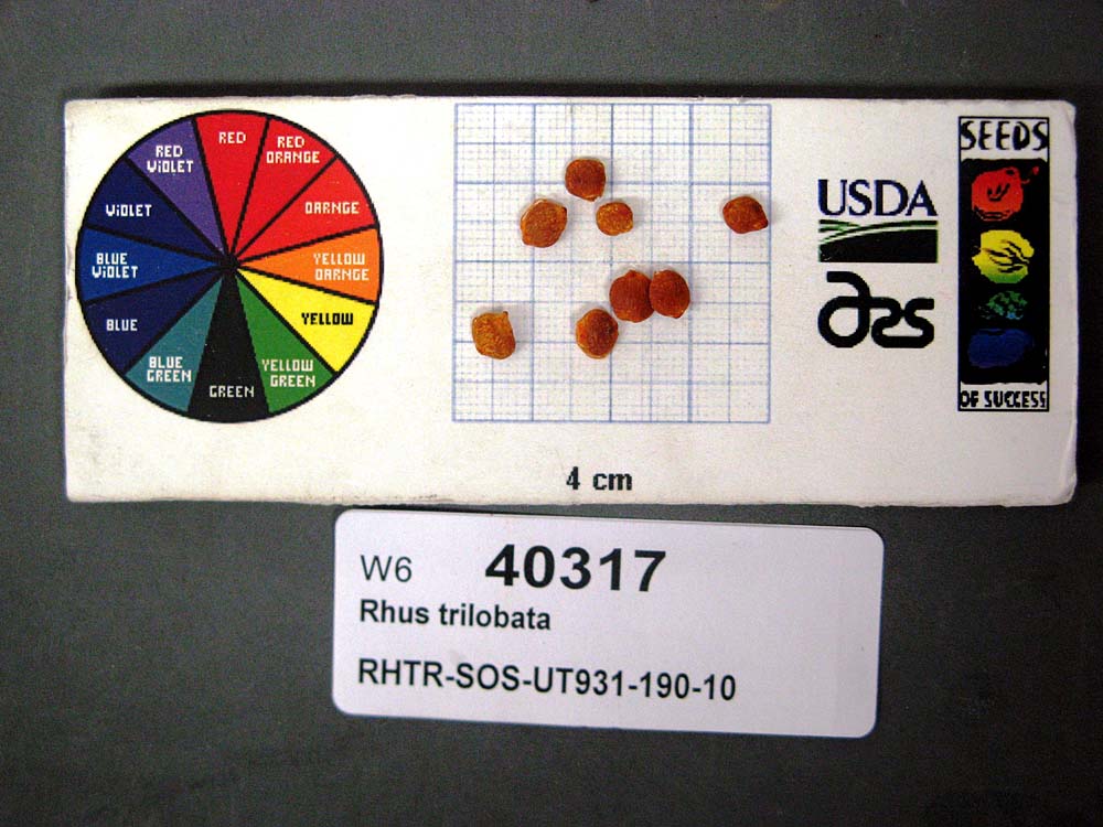 | | 2011 | COLLECTED | 10/06/2010 | Lower San Rafael Road about 10 miles south from Green River Airport Road just south from Horse Bench Reservoir. | 38.84638889, -110.21777780 | 1283 | Found on S-SE aspect rolling hills with a 10-20 degree slope. Rolling hills, slopes, washes. Sandstone, silt-sand substrate. | Wild material | | 1856114 | Ames 31444 |
| 14 | Ames 34287 | AZ930-201 | Rhus aromatica Aiton var. trilobata (Nutt.) A. Gray | Arizona, United States | NC7 | 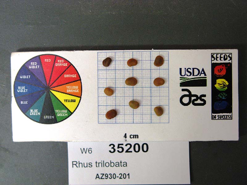 | | 2009 | COLLECTED | 05/22/2007 | Prescott National Forest. Forest Road 323. 0.5 miles west of junction with Forest Road 75. | 34.54167000, -112.08556000 | 1451 | Interior Chaparral, Soil:Tan, Silt and Sand | Wild material | | 1802184 | Ames 34287 |
| 15 | Ames 31439 | RHARS3-SOSUT-030-065-04 | Rhus aromatica Aiton var. simplicifolia (Greene) Cronquist | Utah, United States | NC7 |  | | 2007 | COLLECTED | 06/28/2004 | North side of Vermillion Drive Kanab 50-500 m off trail head. | 37.03708000, -112.55945000 | 474 | Along washes and on slopes | Wild material | | 1740449 | Ames 31439 |
| 16 | Ames 31440 | RHTR-SOSAZ-930-0025R-04 | Rhus aromatica Aiton var. trilobata (Nutt.) A. Gray | Arizona, United States | NC7 |  | | 2007 | COLLECTED | 07/14/2004 | Tonto National Forest just north of mile marker 275 on Hwy 288. | 33.75425000, -110.96977000 | 1347 | Interior chaparral | Wild material | | 1740267 | Ames 31440 |
| 17 | Ames 31441 | RHTR-SOSAZ-930-0088R-05 | Rhus aromatica Aiton var. trilobata (Nutt.) A. Gray | Arizona, United States | NC7 |  | | 2007 | COLLECTED | 06/09/2005 | Tonto National Forest around Seven Springs Recreation Area off Forest Road 24. | 33.94178000, -111.82370000 | 1119 | Interior Chapparral. | Wild material | | 1740301 | Ames 31441 |
| 18 | Ames 31442 | RHTR-SOSAZ-930-0181R-06 | Rhus aromatica Aiton var. trilobata (Nutt.) A. Gray | Arizona, United States | NC7 | 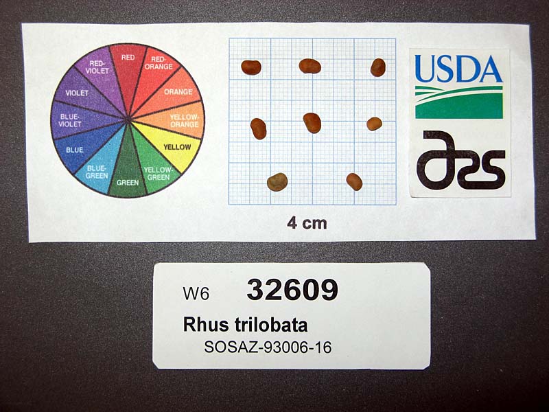 | | 2007 | COLLECTED | 07/13/2006 | Prescott National Forest. Forest service road 372. 3.9 miles from junction with State Route 169. | 34.56853000, -112.07832000 | 1622 | Interior Chaparral. | Wild material | | 1740354 | Ames 31442 |
| 19 | Ames 31443 | RHTR-SOSMT-060-010-05 | Rhus aromatica Aiton var. trilobata (Nutt.) A. Gray | Montana, United States | NC7 | 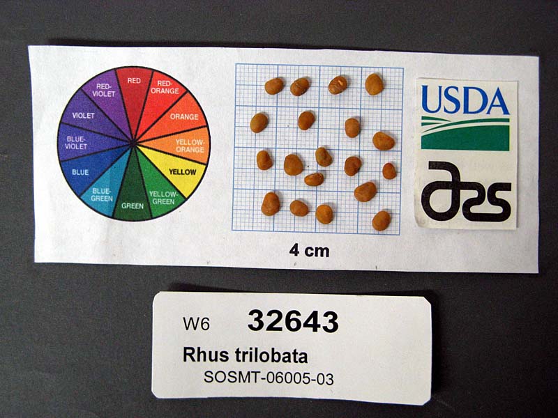 | | 2007 | COLLECTED | 07/25/2005 | Located approximately 20.70 miles northeast of Winnett along Upper Tin Can Hill Road just 1.7 miles west of Lower River Road. | 47.16498000, -107.98315000 | 867 | Silver sage, Ponderosa pine forest edge. | Wild material | | 1740385 | Ames 31443 |
| 20 | Ames 29935 | 170941 | Rhus aromatica Aiton var. trilobata (Nutt.) A. Gray | Utah, United States | NC7 | 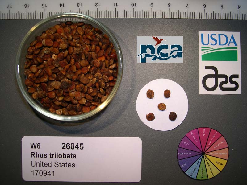 | | 2005 | COLLECTED | 06/06/2002 | Deer Creek watershed near campground just off intersection of Burr Trail Road. | 37.85361000, -111.35500000 | 1750 | Floodplain, mesic zone between riparian & upland areas. | Wild material | Shrub 2.4 meters tall. | 1673884 | Ames 29935 |
| 21 | Ames 27330 | JDC/RA/2023/069/1101 | Rhus aromatica Aiton | Iowa, United States | NC7 |  | | 2003 | COLLECTED | 09/24/2003 | Chatfield Park near Mooar, T65N R5W SW 1/4 of SW 1/4 of Sec. 9, Keokuk Quad. | 40.43750000, -91.45055556 | 195 | Half shaded. ~10% slope with a southwestern aspect | Wild material | Suckering shrubs averaging 4 feet tall. Leaves pubescent. | 1649676 | Ames 27330 |
| 22 | WLP 158 | NACPEC19-029 | Rhus glabra L. | Kentucky, United States | NA | | | 2019 | COLLECTED | 09/09/2019 | Madison County; Berea College Forest: Radio Tower Service Trail | 37.55289700, -84.28793400 | 379 | Xeric shade knob, limestone shale conglomerate material | Wild material | | 2110470 | WLP 158 |
| 23 | WLP 154 | NACPEC19-010 | Rhus copallinum L. | Ohio, United States | NA | | | 2019 | COLLECTED | 09/07/2019 | Adams County; Lynx Township; Edge of Appalachia Preserve System: The Charles A. Eulett Wilderness Preserve. | 38.78140000, -83.41647000 | 254 | Managed old homestead site border: xeric limestone prairie; managed turfgrass, over Dolomitic limestone (dolostone), acidic edge. | | Seeds collected from one plant. Four herbarium specimens collected; photographed. DNA sample collection number: DENG8032. | 2109140 | WLP 154 |
| 24 | PI 673978 | OPGC 2870 | Rudbeckia missouriensis Engelm. ex C. L. Boynton & Beadle | Missouri, United States | OPGC |  | | 2008 | COLLECTED | 09/14/2006 | Shaw Nature Preserve, near Gray Summit, NW 1/4 of NW 1/4 of Section 20, T43N, R2E, Gray Summit Quad, Franklin County. | 38.45527778, -90.82388889 | 195 | Associated with Houstonia, Linum sulcatum, Rhus aromatica, Ruellia humilis, and Verbena simplex. | Wild material | | 1792389 | PI 673978 |
| 25 | PI 660833 | R. aureum var. villosum HDF-2007-095 | Ribes aureum Pursh var. villosum DC. | Nebraska, United States | COR |  | | 2007 | COLLECTED | 07/10/2007 | Sheridan County Metcalf Wildlife Management Area, Hay Springs | 42.82166667, -102.66638889 | 1351 | Open ponderosa pine forest and rangeland associated plants: Pinus ponderosa, Rhus aromatica | Wild material | | 1733148 | PI 660833 |
| 26 | PI 675239 | UT030-021 | Elymus canadensis L. | Utah, United States | W6 | 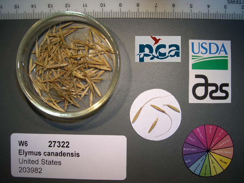 | | 2005 | | | | | | | Wild material | Grasslike 0.6-1.2 meters tall. | 1674353 | PI 675239 |
| 27 | PI 662017 | 24 | Cornus drummondii C. A. Mey. | Iowa, United States | NC7 | | | 2003 | COLLECTED | 09/22/2003 | Eldon Wildlife Management Area, Floris, SW 1/4 of NW 1/4 of Section 9, T70N, R12W, Agency Quad, Davis County. | 40.88083333, -92.25222222 | 235 | Near a pond. Sunny. Slight slope. Clay loam soil. | Wild material | Medium sized, suckering shrubs. Good leaf quality and fruit production. | 1649669 | PI 662017 |
| 28 | PI 616950 | F. virginiana subsp. virginiana NC 98-14-2 | Fragaria virginiana Mill. subsp. virginiana | Tennessee, United States | COR | | Out of Season | 2000 | COLLECTED | 09/27/1998 | Ceders of Lebanon State Forest. 0.7 mile down State Forest road from the 'Pork'. Road edge on the right and 3 to 4 miles into a very large cedar glade. Wilson county. | 36.07361000, -86.31056000 | 340 | Cedar glade with typical vegetation. Pimarily growing through a mat of mosses. Some plants suffering from severe drought. Rhus aromatica, Rosa sp. and Rhamus caroliniana occasional to scattered. | Wild material | | 1603162 | PI 616950 |
| 29 | PI 616978 | F. virginiana subsp. virginiana NC 98-27-1A | Fragaria virginiana Mill. subsp. virginiana | North Carolina, United States | COR |  | Out of Season | 2000 | COLLECTED | 10/28/1998 | Jct. of Paul's Crossing Rd. adn Hwy 49, 1.4 mi west of jct. of hwy 49 and 52 m Richfield, NC. | 35.46500000, -80.29361000 | 0 | Primarily hardward forest with occas. Pinus virginiana and Juniperus virginiana off the road, typical Uwbarrie vegetation. Rhus aromatica noted in drier woods edges. | Wild material | | 1603190 | PI 616978 |
| 30 | PI 616979 | F. virginiana subsp. virginiana NC 98-27-1B | Fragaria virginiana Mill. subsp. virginiana | North Carolina, United States | COR |  | Out of Season | 2000 | COLLECTED | 10/28/1998 | Jct. of Paul's Crossing Rd. adn Hwy 49, 1.4 mi west of jct. of hwy 49 and 52 m Richfield, NC. | 35.46500000, -80.29361000 | 0 | Primarily hardward forest with occas. Pinus virginiana and Juniperus virginiana off the road, typical Uwbarrie vegetation. Rhus aromatica noted in drier woods edges. | Wild material | | 1603191 | PI 616979 |
| 31 | NA 89115 | TLM25-04a | Hamamelis ovalis S. W. Leonard | Texas, United States | NA | | | 2025 | COLLECTED | 07/10/2025 | State Highway 87 approximately 3.25 kilometers north of the crossroad junction with Texas Recreational Road 255 (RE 255); plants were growing in the narrow buffer woods along the east side of the highway. | 31.12051300, -93.72628100 | 138 | The habitat is an upland mixed coniferous and deciduous woodlands in part to full shade and dry conditions, often under drought stress. Plants seem to always occur on the top of dry ridges or well-drained slopes. Slope: 0 to 1 percent. Aspect: N/A. Soils: The soils of this collection area are classified as Tehran-Letney Association, hilly (TLE) soils. The Tehran Series (55%) consists of deep, somewhat excessively drained, moderately rapidly permeable soils on uplands. They formed in thick loamy and sandy sediments on the Western Coastal Plain. These soils are on gently sloping to moderately steep uplands with slopes ranging from 1 to 20 percent. The Letney Series (30%) consists of deep, well drained, moderately rapidly permeable, upland soils. They formed in thick sandy and loamy sediments of the coastal plains. These soils are on gently sloping to moderately steep uplands with slopes ranging from 1 to 20 percent. Soil pH ranges from 4.5 to 6.0. The minor soil components include Doucette Series (10%) and Boykin Series (5%) soils. (Source: California Soil Resource Lab/NRCS Official Soil Series Descriptions). Geology: The underlying geology of this area is of Oligocene origin and characterized as Catahoula Formation. This formation is extensive and deep in Texas, up to 185 meters thick. In the area of the collection the Catahoula Formation is primarily mudstone and sand. The upper 90-150 meters is mudstone that is tuffaceous, and sandy; also, occasionally, with some bentonitic clay. (Source: USGS Texas Geologic Map Data). | Wild material | | 2191654 | NA 89115 |
| 32 | Ames 36327 | Lick Creek Unit | Amelanchier arborea (F. Michx.) Fernald | Iowa, United States | NC7 |  | | 2025 | COLLECTED | 06/10/2025 | Shimek State Forest Lick Creek Unit just east of Farmington, T67N R7W NE ¼ Sec. 8 and Sec. 7 and also T68N R8W Sec. 25. | 40.62024500, -91.70427700 | 214 | Woodland edges. | Wild material | The native range of Amelanchier arborea is concentrated in the eastern half of the U.S. (Little, 1977). This accession represents a collection of A. arborea germplasm from the western region of the species native range, specifically the extreme southeastern corner of Iowa. Specimens sampled in nature ranging 15-35' in height. Typically smoothish bark, light grey in color. Peak flowering (white flowers) occuring usually in early April with orange, orange-red fall colors peaking typically end of September (southeastern Iowa). | 2191464 | Ames 36327 |
| 33 | DPRU 3558 | CONS24-044 | Prunus minutiflora Engelm. ex A. Gray | Texas, United States | DAV | | | 2024 | COLLECTED | 06/17/2024 | | 30.72248000, -98.00497000 | 360 | Grassy scrub in railroad right-of way. Exposure open to 3/4 shade | Wild material | Only seed can be requested of this accession!!
This donation is approximately half of a collection of 896 seeds from 76 maternal lines. An additional 137 seeds were collected in bulk for germination testing and grow out for a total collection size of 1,033 seeds. The population of over 200 plants covered an area of approximately 150m x 3m on thin, clay soil over limestone.
Representative vegetation insluded Juniperus ashei, Celtis laevigata, Sideroxylon lanuginosum, Berberius trifoliolata, Rhus aromatica, Eriogonum longifolium, Krameria lanceolata, Gaillardia pulchella, Hedeoma acinoides, and Warnockia scutellarioides.
Plant type is locally abundant, but uncommon throughout range. | 2170978 | DPRU 3558 |
| 34 | NA 88807 | TJK2023LA/TX-007 | Yucca pallida McKelvey | Texas, United States | NA | | | 2023 | COLLECTED | 11/27/2023 | Glen Rose, Texas: Parkview Dr, about 400 feet north of U.S. Highway 67. | 32.24980000, -97.73500000 | 207 | Nice remnant savannah, native grasses with intact woody mottes. Incomplete residential development, but building appears to be commencing again. Slope: less than 5%. Aspect: South-southwest. Elevation: 679 feet. | Wild material | | 2159190 | NA 88807 |
| 35 | Ames 36189 | Dry Canyon | Fraxinus cuspidata Torr. | New Mexico, United States | NC7 |  | | 2023 | COLLECTED | 10/20/2023 | Lincoln National Forest - Sacramento Mountains - Dry Canyon (T5574) located northeast of Alamogordo approximately 5.5 miles following Dry Canyon Trail | 32.94168000, -105.87770000 | 1814 | On slope above wash. | Wild material | | 2159161 | Ames 36189 |
| 36 | Ames 36190 | Calico Peak Road | Fraxinus cuspidata Torr. | New Mexico, United States | NC7 |  | | 2023 | COLLECTED | 10/22/2023 | Lincoln National Forest - Calico Peak Road (FS 162) located just north of Mountain Park approximately 2.0 miles | 32.97561000, -105.82591000 | 1971 | Rocky alluvium | Wild material | | 2159162 | Ames 36190 |
| 37 | Ames 36184 | Ames 36184 | Quercus durandii Buckley var. breviloba (Torr.) E. J. Palmer | Oklahoma, United States | NC7 | 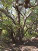 | | 2023 | COLLECTED | 2022 | Private property located 11.0 miles west of Clinton just northeast of intersection of Highway 73 and N2140 Road, T12N R19W NE 1/4 SW 1/4 SW 1/4 Sec. 13 | 35.51213100, -99.16652700 | 518 | Rocky knolls consisting of red Permian sandstone scree and red shale outcroppings with a high pH (estimated 8.0-8.5 pH). | Wild material | Accession represents genetics of a disjunct population that is approximately 150 miles northwest of the nearest population of this taxon. Estimated to reach a mature height at 18-20’ and spread at 12-15’. Leaves are rather persistent (strong marcescence) throughout winter. Specimens are shrubby, multi-stemmed and low-branching. Often referred to as Bigelow oak and typically found throughout most of central Texas and parts of southern Oklahoma. According to Lance (2022), “Bigelow oak is mostly allopatric from typical Durand Oak in its range. East of this range, errors in herbarium annotations of juvenile Durand Oak material, where leaf shapes may mimic Bigelow oak, have caused confusion and inaccurate range extensions.” | 2159016 | Ames 36184 |
| 38 | Ames 36179 | AS/JS/2023/073/283 | Juniperus scopulorum Sarg. | North Dakota, United States | NC7 |  | | 2023 | COLLECTED | 09/18/2023 | Little Missouri National Grassland approximately two miles south of Medora along the Maah Daah Hey National Recreation Trail, starting 0.2 miles south of Sully Creek State Recreation Area, T139N R102W Sec. 3. | 46.88356500, -103.53189100 | 761 | Badlands hillsides, north and east facing. | Wild material | Variation was noted for growth habit (upright to rounded) and foliage color (green to bluish). | 2159011 | Ames 36179 |
| 39 | NA 89272 | TJK2023TX-001 | Forestiera pubescens Nutt. | Texas, United States | NA | | | 2023 | COLLECTED | 05/25/2023 | Glen Rose, Texas: intersection of Longhorn Drive and Parkview Drive, just south of Highway 67. | 32.25080000, -97.73500000 | 213 | Nice remnant savannah, native grasses with intact woody mottes. Incomplete residential development, but building appears to be commencing again. Slope: 2%. Aspect: Southwest. Elevation recorded as 699 feet. | Wild material | WLPGR contract collection. | 2158255 | NA 89272 |
| 40 | Ames 36152 | JDC/MM/2023/048/1080 | Monarda maxmedleyi J. J. N. Campb. & Floden | Kentucky, United States | NC7 |  | | 2023 | COLLECTED | 08/10/2023 | Owsley Fork Road (roadsides) just 2.3 miles east, southeast of Big Hill, along the north edge of the reservior. | 37.54038300, -84.17209500 | 252 | Moist and dry slopes. Woodland edges; open woods; densely shaded woods; and wooded roadsides. | Wild material | Plants measuring 12-18" in height. Spreading vegetatively via rhizomes. Flower color on the majority of specimens is mostly white with some specimens having a hint of pink. Peak flowering at collection site occurred near 28th of May (2023). Some specimens flowering in heavy shade. | 2158357 | Ames 36152 |
| 41 | Ames 36153 | JDC/MM/2023/049/1081 | Monarda maxmedleyi J. J. N. Campb. & Floden | Kentucky, United States | NC7 |  | | 2023 | COLLECTED | 08/10/2023 | Lily Mountain Preserve located 6.92 miles west, southwest of South Irvine | 37.63661300, -84.09026400 | 432 | Open dry, woods. Localized at highest elevations of preserve. | Wild material | Plants measuring 12-18" in height. Spreading vegetatively via rhizomes. Majority of specimens with mostly white flowers. Peak flowering at collection site occurred near 26th of May (2023). | 2158358 | Ames 36153 |
| 42 | Ames 36154 | JDC/MM/2023/051/1083 | Monarda maxmedleyi J. J. N. Campb. & Floden | Kentucky, United States | NC7 |  | | 2023 | COLLECTED | 08/08/2023 | Located just east of highway 213 (Morris Creek Road) near Powell and Montgomery County line. Population in both counties. | 37.90554800, -83.86808700 | 359 | Dry, steep hillside (roadside). Localized to south-facing slopes. | Wild material | Plants measuring 12-18" in height. Peak flowering at collection site occurred near 24th of May (2023). Some specimens extremely vigorous forming dense clonal patches covering a 5' x 5' area. Majority of specimens with mostly white flowers. | 2158359 | Ames 36154 |
| 43 | Ames 36161 | JDC/MM/2023/066/1098 | Monarda maxmedleyi J. J. N. Campb. & Floden | Kentucky, United States | NC7 | 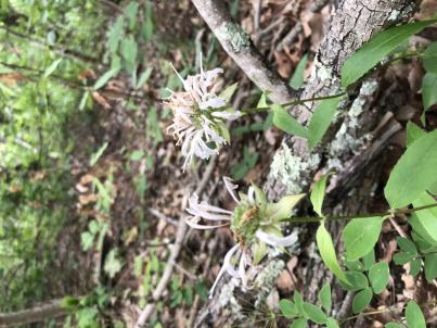 | | 2023 | COLLECTED | 08/09/2023 | Daniel Boone National Forest on west and east side of NF-227 (Sweet Lick Road) just north (0.65 miles) of intersection with Henry Ridge Road | 37.74303300, -83.93589700 | 387 | Ridge tops/highest elevations, dry open woods. | Wild material | Plants measuring 8-14" in height. Spreading vegetatively via rhizomes. Population mostly represented as specimens with white flowers. Peak flowering at collection site occurred near 27th of May (2023). | 2158366 | Ames 36161 |
| 44 | OPGC 8794 | SG1-2 | Ratibida pinnata (Vent.) Barnhart | Tennessee, United States | OPGC | | | 2023 | | | | | | | Wild material | | 2142749 | OPGC 8794 |
| 45 | W6 60874 | AZ010-49 | Descurainia pinnata (Walter) Britton | Arizona, United States | W6 |  | | 2023 | | | | | | | Wild material | Annual forb with erect inflorescence terminating in a raceme of fruits. | 2142512 | W6 60874 |
| 46 | W6 61028 | CA360-199 | Monardella villosa Benth. | California, United States | W6 |  | | 2023 | | | | | | | Wild material | Bright purple flower, strong scent, square stem | 2142667 | W6 61028 |
| 47 | NA 87353 | TJK2022TX-001 | Frangula caroliniana (Walter) A. Gray | Texas, United States | NA | | | 2023 | COLLECTED | 11/29/2022 | Kendall County: Kendalia: Old Blanco Road, about 0.7 miles north of intersection with Crabapple Creek, 2.3 miles from FM 474 at Kendalia. | 29.99990000, -98.51500000 | 480 | Rural roadside, collected between fence and road, east side of road. | Wild material | | 2141644 | NA 87353 |
| 48 | NA 89037 | RJL2022KS-004 | Fraxinus pennsylvanica Marshall | Kansas, United States | NA |  for this accession.") | | 2022 | COLLECTED | 09/21/2022 | Coronado Heights Park, Smoky View, Kansas hillsides surrounding the historic WPA circa 1932 Coronado Heights Castle located about 91 meters above the surrounding land. This plant is scattered and infrequent on the slopes of this site. | 38.61065700, -97.70408300 | 448 | Plants growing in full sun, under extreme exposure, rocky, dry and thin soils of this short grass prairie habitat on the slopes surrounding the summit of Coronado Heights Park. Plants tend
Soils: The underlying geology of this area is of Upper Cretaceous origin and comprised of Kiowa Shale or FM- light -gray to black illitic shale with thin coquinoidal limestone beds at the base; sandstone lenses are common. Cheyenne Sandstone-massive to cross-bedded, light-gray to buff fine-grained sandstone with lenses to be found in runoff zones where moisture is temporarily more abundant.of gray sandy shale and conglomerate.
Source: USGS Kansas Geologic Map Data (https://mrdata.usgs.gov/geology/state/sgmc-unit.php?unit=KSKkc%3B0)
The surface soil profile of this area is Lancaster-Hedville complex, 3 to 20 percent slopes. The Lancaster series consists of moderately deep, well drained soils that formed in residuum from sandstone and sandy shales; it can be up to 200 cm deep. Slopes range from 1-20%. Hedville soils have bedrock within 50 centimeters of the surface and occur on similar hillslope positions.
Source: NRCS Web Soil Survey (https://websoilsurvey.sc.egov.usda.gov/App/WebSoilSurvey.aspx) | Wild material | | 2139602 | NA 89037 |
| 49 | NA 89036 | RJL2022KS-003 | Cornus drummondii C. A. Mey. | Kansas, United States | NA | | | 2022 | COLLECTED | 09/21/2022 | Coronado Heights Park, Smoky View, Kansas hillsides surrounding the historic WPA circa 1932 Coronado Heights Castle located about 91 meters above the surrounding land. This plant is common and abundant on the slopes of this site. | 38.61348400, -97.70343100 | 475 | Plants growing in part shade to full sun, under extreme exposure, rocky, dry and thin soils of this short grass prairie habitat on the slopes surrounding the summit of Coronado Heights Park. The underlying geology of this area is of Upper Cretaceous origin and comprised of Kiowa Shale or FM- light -gray to black illitic shale with thin coquinoidal limestone beds at the base; sandstone lenses are common. Cheyenne Sandstone-massive to cross-bedded, light-gray to buff fine-grained sandstone with lenses of gray sandy shale and conglomerate.
Source: USGS Kansas Geologic Map Data (https://mrdata.usgs.gov/geology/state/sgmc-unit.php?unit=KSKkc%3B0)
The surface soil profile of this area is Lancaster-Hedville complex, 3 to 20 percent slopes. The Lancaster series consists of moderately deep, well drained soils that formed in residuum from sandstone and sandy shales; it can be up to 200 cm deep. Slopes range from 1-20%. Hedville soils have bedrock within 50 centimeters of the surface and occur on similar hillslope positions.
Source: NRCS Web Soil Survey (https://websoilsurvey.sc.egov.usda.gov/App/WebSoilSurvey.aspx)
Slope: 5-20% Aspect: all | Wild material | | 2139601 | NA 89036 |
| 50 | NA 89035 | RJL2022KS-002 | Rosa arkansana Porter | Kansas, United States | NA | | | 2022 | COLLECTED | 09/20/2022 | Coronado Heights Park, Smoky View, Kansas hillsides surrounding the historic WPA circa 1932 Coronado Heights Castle located about 91 meters above the surrounding land. This plant is quite abundant on the slopes of this site and highly competitive. | 38.61158800, -97.70427000 | 475 | Plants growing in part-sun to full sun, under extreme exposure, rocky, dry and thin soils of this short grass prairie habitat on the slopes surrounding the summit of Coronado Heights Park.
The underlying geology of this area is of Upper Cretaceous origin and comprised of Kiowa Shale or FM- light -gray to black illitic shale with thin coquinoidal limestone beds at the base; sandstone lenses are common. Cheyenne Sandstone-massive to cross-bedded, light-gray to buff fine-grained sandstone with lenses of gray sandy shale and conglomerate.
Source: USGS Kansas Geologic Map Data (https://mrdata.usgs.gov/geology/state/sgmc-unit.php?unit=KSKkc%3B0)
The surface soil profile of this area is Lancaster-Hedville complex, 3 to 20 percent slopes. The Lancaster series consists of moderately deep, well drained soils that formed in residuum from sandstone and sandy shales; it can be up to 200 cm deep. Slopes range from 1-20%. Hedville soils have bedrock within 50 centimeters of the surface and occur on similar hillslope positions.
Source: NRCS Web Soil Survey (https://websoilsurvey.sc.egov.usda.gov/App/WebSoilSurvey.aspx) | Wild material | | 2139600 | NA 89035 |
| 51 | NA 89034 | RJL2022KS-001 | Baptisia australis (L.) R. Br. var. minor (Lehm.) Fernald | Kansas, United States | NA | | | 2022 | COLLECTED | 09/20/2022 | Coronado Heights Park, Smoky View, Kansas hillsides surrounding the historic WPA circa 1932 Coronado Heights Castle located about 91 meters above the surrounding land. This plant is sporadic to common on the slopes of this site. | 38.61349700, -97.70303900 | 487 | This plant is sporadic to common on the slopes of this site.
Habitat Notes: Plants growing in full sun, under extreme exposure, rocky, dry and thin soils of this short grass prairie habitat on the slopes surrounding the summit of Coronado Heights Park.
The underlying geology of this area is of Upper Cretaceous origin and comprised of Kiowa Shale or FM- light -gray to black illitic shale with thin coquinoidal limestone beds at the base; sandstone lenses are common. Cheyenne Sandstone-massive to cross-bedded, light-gray to buff fine-grained sandstone with lenses of gray sandy shale and conglomerate.
Source: USGS Kansas Geologic Map Data (https://mrdata.usgs.gov/geology/state/sgmc-unit.php?unit=KSKkc%3B0)
The surface soil profile of this area is Lancaster-Hedville complex, 3 to 20 percent slopes. The Lancaster series consists of moderately deep, well drained soils that formed in residuum from sandstone and sandy shales; it can be up to 200 cm deep. Slopes range from 1-20%. Hedville soils have bedrock within 50 centimeters of the surface and occur on similar hillslope positions.
Source: NRCS Web Soil Survey (https://websoilsurvey.sc.egov.usda.gov/App/WebSoilSurvey.aspx) | Wild material | received as Baptisia minor | 2139599 | NA 89034 |
| 52 | OPGC 8628 | CP3-177 | Dieteria canescens (Pursh) Nutt. var. canescens | Utah, United States | OPGC |  | | 2022 | | | | | | | Wild material | purple-ray, yellow-disc flowers, pleasant odorûû | 2138422 | OPGC 8628 |
| 53 | NA 88316 | NV052-902 | Fallugia paradoxa (D. Don) Endl. ex Torr. | Nevada, United States | NA |  | | 2021 | | | | | | | Wild material | 5 white petals; achenes with long, pinkish plumes; many fruits per flower | 2132424 | NA 88316 |
| 54 | W6 59450 | MD1-10 | Achnatherum speciosum (Trin. & Rupr.) Barkworth | Arizona, United States | W6 | | | 2021 | | | | | | | Wild material | | 2120617 | W6 59450 |
| 55 | W6 59452 | MD1-12 | Hilaria rigida (Thurb.) Benth. ex Scribn. | Arizona, United States | W6 | | | 2021 | | | | | | | Wild material | | 2120619 | W6 59452 |
| 56 | NA 88327 | CBG-10491 | Hypericum gentianoides (L.) Britton et al. | Illinois, United States | NA | | | 2021 | | | | | | | Wild material | | 2120116 | NA 88327 |
| 57 | OPGC 8057 | ID310-40 | Asclepias speciosa Torr. | Idaho, United States | OPGC | | | 2020 | | | | | | | Wild material | Leaves petiolate, oblong-lanceolate. | 2107486 | OPGC 8057 |
| 58 | Ames 35242 | APS/EA/2019/046/375 | Euonymus atropurpureus Jacq. | Missouri, United States | NC7 |  | | 2019 | COLLECTED | 11/02/2019 | Mule Shoe Conservation Area along CR 66 approximately 7.5 miles east of Cross Timbers. | 38.01203000, -93.09312000 | 265 | Roadside, deciduous forest. | Wild material | | 2097787 | Ames 35242 |
| 59 | WLP 180 | NACPEC19-011 | Clematis virginiana L. | Ohio, United States | NA | | | 2019 | COLLECTED | 09/07/2019 | Adams County; Edge of Appalachia Preserve System: The Charles Eulett Wilderness Preserve | 38.78128800, -83.41623900 | 263 | Managed old homestead site border: Xeric limestone prairie; managed turfgrass | Wild material | | 2110494 | WLP 180 |
| 60 | Ames 34606 | JDC/MB/2019/011/890 | Monarda brevis (Fosberg & Artz) Floden | West Virginia, United States | NC7 |  | | 2019 | | | | | | | Wild material | Variation in flower color present from near white, faint pink to faint "smoky" purple. Majority of specimens noted at collection site in nature were approximately 3-5 days past peak flower on 10 June 2019 with seeds reaching maturity approximately 55 days later. Majority of specimens observed were approximately 10" in height. Very healthy, dark-green leaves that maintained quality throughout the season (observed mid-August 2019). Some specimens consisting of 25-30 flowering stems encompassing a 1.5 sq. ft. area. | 2092642 | Ames 34606 |
| 61 | W6 55795 | CA930A-745 | Ericameria paniculata (A. Gray) Rydb. | California, United States | W6 |  | | 2018 | | | | | | | Wild material | Ericameria paniculata | 1970506 | W6 55795 |
| 62 | WLP 2000 | PCCNCTX18-132 | Yucca arkansana Trel. subsp. louisianensis (Trel.) Hochstätter | Texas, United States | NA | | | 2018 | COLLECTED | 09/06/2018 | Grimes County; ; Highway 90 south of Anderson, Texas. | 30.45071000, -96.02705000 | 85 | Sandstone outcropping, roadside in full sun. Sandstone/sand soil. | | 1060 seeds collected and voucher collected; photographed. | 2109033 | WLP 2000 |
| 63 | NA 88043 | NV052-729 | Chilopsis linearis (Cav.) Sweet | Nevada, United States | NA |  | | 2018 | | | | | | | Wild material | | 1966252 | NA 88043 |
| 64 | Ames 34307 | JDC/EP/2018/051/864 | Echinacea paradoxa (Norton) Britton | Missouri, United States | NC7 |  | | 2018 | COLLECTED | 07/16/2018 | Auxvasse Natural Area located 8.44 miles southeast of Fulton, T46N R8W S 1/4 Sec. 9, Callaway County | 38.76733000, -91.82958500 | 205 | Dolomite glade. Large (110 acres) and exceptionally diverse (220 plant species identified). According to local MDC biologists, this is one of the best glades north of the Missouri River in Missouri. Northern most, native population of Echinacea paradoxa in Missouri. | Wild material | Plants reached peak flower on 30 May 2018. Specimens ranged from 2.0-4.0' in height. | 1964614 | Ames 34307 |
| 65 | Ames 34310 | JDC/MB/2018/050/863 | Monarda bradburiana L. C. Beck | Missouri, United States | NC7 |  | | 2018 | COLLECTED | 07/16/2018 | Auxvasse Natural Area located 8.44 miles southeast of Fulton, T46N R8W S 1/4 Sec. 9, Callaway County | 38.76733000, -91.82958500 | 205 | Dolomite glade. Large (110 acres) and exceptionally diverse (220 plant species identified). According to local MDC biologists, this is one of the best glades north of the Missouri River in Missouri. | Wild material | Plants measuring circa 1.0' in height. Peak flowering occurred around 18 May 2018. Seeds likely reached full maturity around first week in July (2018). | 1964617 | Ames 34310 |
| 66 | Ames 34311 | JDC/ML/2018/029/842-A | Monarda luteola Singhurst & W. C. Holmes | Arkansas, United States | NC7 |  | | 2018 | COLLECTED | 07/17/2018 | Washburn Mountain Range located 8.10 miles south, southwest of Charleston on Fort Chaffee Military Base, T6N R29W NE 1/4 SW 1/4 Sec. 16, Sebastian County | 35.19071800, -94.09287200 | 290 | Open, dry woods. | Wild material | Plants with lemon scent, pubescent stems and leaves with faint yellow flowers measuring circa 2.0-2.5' in height. Plants likely reached peak flower on 18 May 2018. Seeds likely reached full maturity around first week in July (2018). | 1964618 | Ames 34311 |
| 67 | Ames 34312 | JDC/ML/2018/029/842-B | Monarda luteola Singhurst & W. C. Holmes | Arkansas, United States | NC7 |  | | 2018 | COLLECTED | 07/17/2018 | Washburn Mountain Range located 5.30 miles south of Charleston on Fort Chaffee Military Base on ridge near Rattlesnake Creek on the west side of S Rattlesnake Road, T6N R29W NE 1/4 SW 1/4 Sec. 1, Franklin County | 35.22206500, -94.03779700 | 229 | Open, dry woods. | Wild material | Plants with lemon scent, pubescent stems and leaves with faint yellow flowers measuring circa 1.5-2.0' in height. Plants likely reached peak flower on 18 May 2018. Seeds likely reached full maturity around first week in July (2018). | 1964619 | Ames 34312 |
| 68 | Ames 34321 | JDC/MR/2018/061/874 | Monarda russeliana Nutt. ex Sims | Oklahoma, United States | NC7 |  | | 2018 | COLLECTED | 07/19/2018 | On the northwest side of Wister Lake along the north side of Wister Lake MGMT Road, T5N R24E NW 1/4 NW 1/4 and NE 1/4 NW 1/4 Sec. 6, Le Flore County. | 34.93915700, -94.81967400 | 160 | Open, dry, rocky woods. | Wild material | Petite plants with only 1-3 stems per plant ranging from 1.0-1.5' in height. At time of collection (19 July 2018) peduncle showing 1-2" of dead/brown tissue. Leaves twice as long (or more) as wide. Generally three pairs of opposite leaves per stem. Slight pubescence on leaves with 1-2 mm petiole. Leaves rather flat. Seeds likely reached peak maturity around first week in July. | 1964628 | Ames 34321 |
| 69 | Ames 34302 | JDC/EP/2018/044/857 | Echinacea paradoxa (Norton) Britton | Missouri, United States | NC7 |  | | 2018 | COLLECTED | 07/03/2018 | Drury-Mincy Conservation Area just off Gunnison Road (west side) located approximately 8.5 miles southeast of Branson, T22N R20W W 1/4 SE 1/4 Sec. 16, Taney County | 36.55268100, -93.10969300 | 302 | Open, dry glade. | Wild material | | 1964609 | Ames 34302 |
| 70 | Ames 34303 | JDC/MB/2018/047/860 | Monarda bradburiana L. C. Beck | Missouri, United States | NC7 |  | | 2018 | COLLECTED | 07/03/2018 | Drury-Mincy Conservation Area just off Gunnison Road (west side) located approximately 8.5 miles southeast of Branson, T22N R20W W 1/4 SE 1/4 Sec. 16, Taney County | 36.55268100, -93.10969300 | 302 | Open, dry glade. | Wild material | | 1964610 | Ames 34303 |
| 71 | NA 87978 | CA930A-656 | Fallugia paradoxa (D. Don) Endl. ex Torr. | California, United States | NA | | | 2018 | | | | | | | Wild material | | 1958140 | NA 87978 |
| 72 | NA 88197 | CA930A-662 | Baccharis sergiloides A. Gray | California, United States | NA | | | 2018 | | | | | | | Wild material | | 1958146 | NA 88197 |
| 73 | W6 53408 | CA930A-659 | Bahiopsis parishii (Greene) E. E. Schill. & Panero | California, United States | W6 | | | 2018 | | | | | | | Wild material | | 1958143 | W6 53408 |
| 74 | W6 53409 | CA930A-660 | Tridentopsis mutica (Torr.) P. M. Peterson | California, United States | W6 | | | 2018 | | | | | | | Wild material | | 1958144 | W6 53409 |
| 75 | W6 53410 | CA930A-661 | Gutierrezia sarothrae (Pursh) Britton & Rusby | California, United States | W6 | | | 2018 | | | | | | | Wild material | | 1958145 | W6 53410 |
| 76 | W6 53412 | CA930A-663 | Artemisia ludoviciana Nutt. subsp. albula (Wooton) D. D. Keck | California, United States | W6 | | | 2018 | | | | | | | Wild material | | 1958147 | W6 53412 |
| 77 | Ames 34176 | JDC/MX/2018/010/823 | Monarda citriodora Cerv. ex Lag. | Oklahoma, United States | NC7 |  | | 2018 | COLLECTED | 03/13/2018 | Thurmond Ranch approximately 3.80 miles southwest of Cheyenne, T13N R24W SW 1/4 SW 1/4 Sec. 25, Roger Mills County | 35.56774900, -99.71360200 | 641 | Dry, sand prairie | Wild material | | 1957954 | Ames 34176 |
| 78 | Ames 34187 | JDC/UA/2018/011/824 | Ulmus americana L. | Oklahoma, United States | NC7 |  | | 2018 | COLLECTED | 03/13/2018 | Thurmond Ranch approximately 3.80 miles southwest of Cheyenne, T13N R24W SW 1/4 NW 1/4 of Sec. 27, Roger Mills County | 35.57587400, -99.74476300 | 639 | | Wild material | | 1957965 | Ames 34187 |
| 79 | OPGC 7189 | CBG-7465 | Apocynum androsaemifolium L. | Colorado, United States | OPGC |  | | 2017 | | | | | | | Wild material | | 1954756 | OPGC 7189 |
| 80 | Ames 34023 | Ames 34023 | Viburnum prunifolium L. | Iowa, United States | NC7 |  | | 2017 | COLLECTED | 09/27/2017 | Shimek State Forest, Donnellson Unit, approximately 6.0 miles west of Donnellson. | 40.64796000, -91.67764000 | 219 | Oak-hickory upland forest. | Wild material | Plants at collection site ranging between 10-15' tall. Fruits dark purple, leaves on some stems were turning red fall color at time of collection (09/27/2017). | 1953995 | Ames 34023 |
| 81 | Ames 33978 | JDC/FQ/2017/030/784 | Fraxinus quadrangulata Michx. | Tennessee, United States | NC7 | 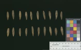 | | 2017 | COLLECTED | 07/07/2017 | Long Hunter State Park approximately 8.5 miles south of Mt. Juliet along Barnett Road, Rutherford County | 36.07491800, -86.51121200 | 162 | High-quality cedar glade. | Wild material | | 1950061 | Ames 33978 |
| 82 | Ames 33985 | JDC/FQ/2017/041/795 | Fraxinus quadrangulata Michx. | Kentucky, United States | NC7 |  | | 2017 | COLLECTED | 07/12/2017 | Carter Caves State Resort Park near Smoky Valley Lake just 4.46 miles south of Carter, Carter County | 38.36772700, -83.12512200 | 230 | Deciduous woods. | Wild material | | 1950068 | Ames 33985 |
| 83 | WLP 1097 | JDC/CO/2015/026/682 | Cotinus obovatus Raf. | Missouri, United States | NA | | | 2015 | COLLECTED | 05/19/2015 | T22N R20W N1/2 Sec. 33 and SW 1/4 Sec. 27 Taney County. Gunnison Road, adjacent to Bee Creek, a tributary to Fox Creek and also surrounding area. | 36.52401500, -93.09755700 | 350 | Steep, west-facing slope on rocky, loose substrate. Growing in association with Fraxinus quadrangulata, Quercus muehlenbergii, Hydrangea arborescens, Physocarpus opulifolius, Viburnum rufidulum, Cornus florida, Carpinus caroliniana (abundant), Rhus aromatica, Lonicera sp. (vine), Cornus sp., Salix sp., Juniperus virginiana, Tilia americana, Hamamelis sp. (abundant) and Staphylea trifolia. | Wild material | | 1926259 | WLP 1097 |
| 84 | Ames 32898 | APS/GD/2015/025/207 | Gymnocladus dioicus (L.) K. Koch | Oklahoma, United States | NC7 |  | | 2015 | COLLECTED | 03/17/2015 | Ellis County: West Creek confluence with the Canadian River, T16N R24W E 1/4 Sec. 10. Packsaddle Wildlife Management Area approximately 18 miles north of Cheyenne. | 35.87199300, -99.72757700 | 608 | Bottomlands. | Wild material | | 1925364 | Ames 32898 |
| 85 | NA 82391 | JDC/SD/2015/022/678 | Sapindus saponaria L. var. drummondii (Hook. & Arn.) L. D. Benson | Kansas, United States | NA | 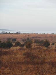 | | 2015 | COLLECTED | 03/20/2015 | Elk City State Park between Elk City and Independence, T32S R15E, northwest 1/4 of southwest 1/4 of Section 7. | 37.27647400, -95.81521600 | 288 | Short grass prairie area. | Wild material | | 1925374 | NA 82391 |
| 86 | W6 47547 | WY050-69 | Sphaeralcea coccinea (Nutt.) Rydb. | Wyoming, United States | W6 |  | | 2014 | COLLECTED | 07/22/2013 | Sinks Canyon State Park, first pull-off on right after entrance to canyon, up trails across road from Sawmill Campground. T32 R100 S9 | 42.75883000, -108.79947000 | 1903 | | Wild material | | 1918449 | W6 47547 |
| 87 | Ames 31987 | APS/GD/2013/011/096 | Gymnocladus dioicus (L.) K. Koch | Kansas, United States | NC7 |  | | 2013 | COLLECTED | 02/20/2013 | Camp Wood, near Cottonwood River, south of Elmdale, NW 1/4 of Section 3, T20S R7E, Chase County. | 38.34698100, -96.65080500 | 377 | Samples obtained from both upland, rocky and floodplain habitat. | Wild material | | 1907540 | Ames 31987 |
| 88 | W6 45114 | MT020-10 | Nassella viridula (Trin.) Barkworth | Montana, United States | W6 |  | | 2012 | | | | | | | Wild material | | 1905089 | W6 45114 |
| 89 | W6 45115 | MT020-11 | Nassella viridula (Trin.) Barkworth | Montana, United States | W6 | 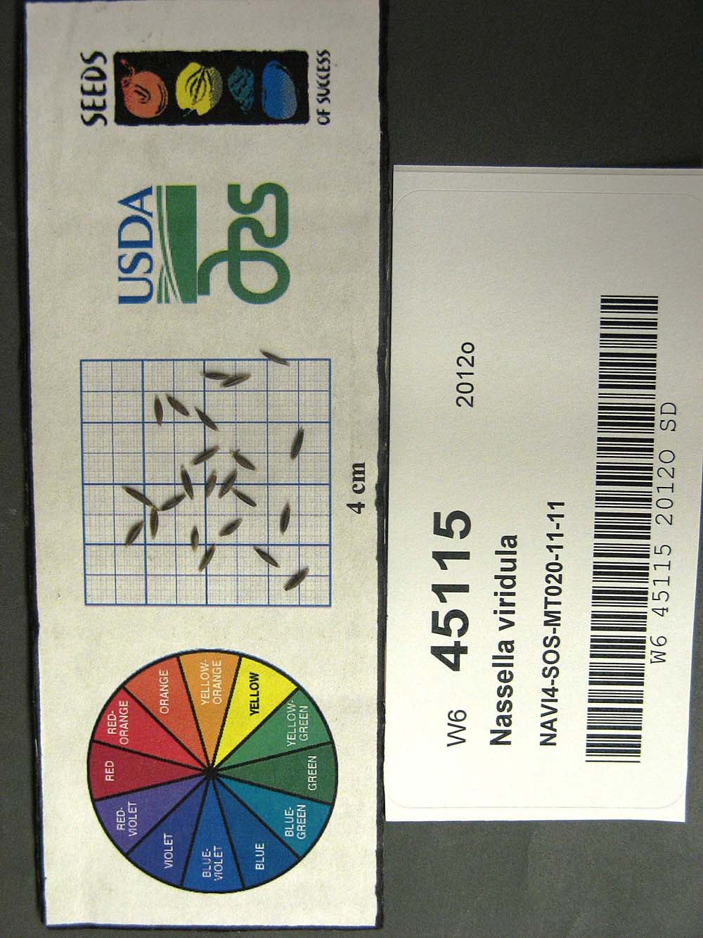 | | 2012 | | | | | | | Wild material | | 1905090 | W6 45115 |
| 90 | W6 45162 | MT020-12 | Pseudoroegneria spicata (Pursh) Á. Löve | Montana, United States | W6 | 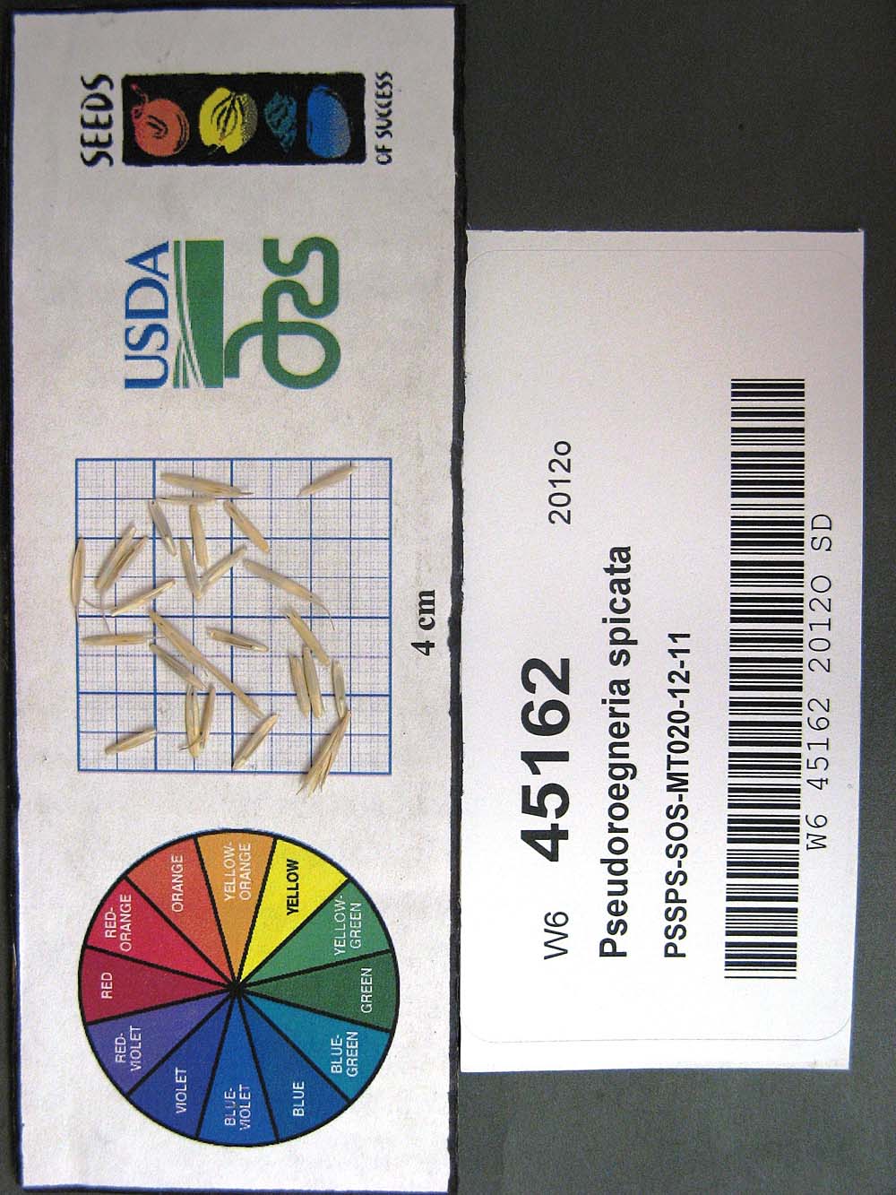 | | 2012 | | | | | | | Wild material | | 1905137 | W6 45162 |
| 91 | NA 80067 | NA 80067 | Cladrastis kentukea (Dum. Cours.) Rudd | Kentucky, United States | NA | | | 2011 | COLLECTED | 10/02/2001 | Palisades (a locally used term to describe the sheer cliffs along the Kentucky River); along the west side of Kentucky Route 27 just north of Hall, Kentucky. | 37.79288000, -84.60705000 | 300 | Growing on the thin soils of the sheer limestone cliffs just below the top of the cliffs. | | | 1953441 | NA 80067 |
| 92 | Ames 30602 | JDC/FP/2010/030/300 | Fraxinus pennsylvanica Marshall | Kansas, United States | NC7 |  | | 2010 | COLLECTED | 09/13/2010 | Sugar Creek watershed, southeast of Bush City, Anderson County. | 38.19259000, -95.11621000 | 302 | | Wild material | | 1848897 | Ames 30602 |
| 93 | Ames 30604 | JDC/FQ/2010/037/307 | Fraxinus quadrangulata Michx. | Missouri, United States | NC7 |  | | 2010 | COLLECTED | 09/14/2010 | Fiddlers Ford Conservation Area, Dade County. | 37.38418300, -93.79576000 | 294 | Rock outcropping. South facing slope (40%). | Wild material | | 1848899 | Ames 30604 |
| 94 | W6 35278 | UT931-109 | Hedysarum boreale Nutt. | United States | W6 | 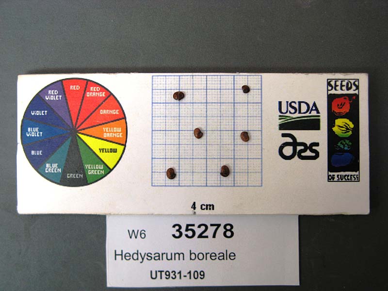 | | 2009 | | | | | | | Wild material | | 1802254 | W6 35278 |
| 95 | W6 35301 | WY030-30 | Leymus cinereus (Scribn. & Merr.) Á. Löve | Wyoming, United States | W6 | 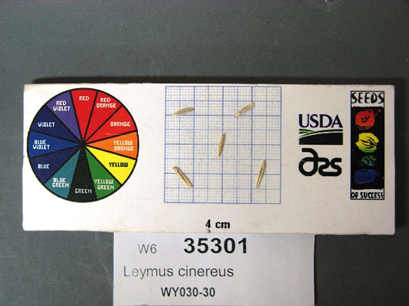 | | 2009 | | | | | | | Wild material | | 1802277 | W6 35301 |
| 96 | Ames 29655 | JDC/HP/2008/023/093 | Hypericum prolificum L. | Missouri, United States | NC7 |  | | 2008 | COLLECTED | 10/06/2008 | Thousand Hills State Park, T62N R16W NW 1/4 SW 1/4 Sec. 12, Novinger Quad, | 40.18805556, -92.64500000 | 280 | | Wild material | | 1788210 | Ames 29655 |
| 97 | WLP 2073 | 177375 | Clematis ligusticifolia Nutt. | Colorado, United States | NA | 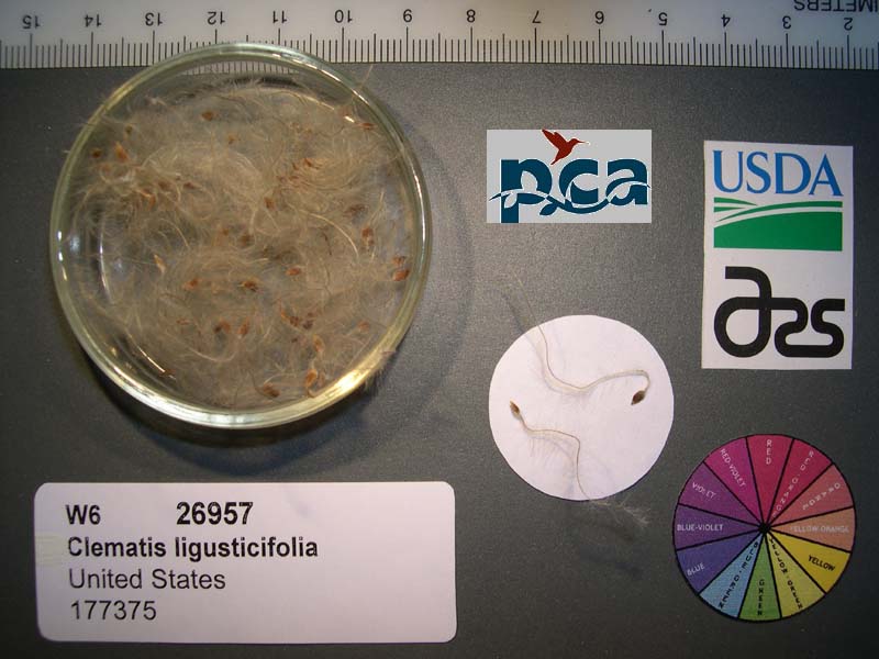 | | 2005 | COLLECTED | 09/12/2002 | | | 2409 | Pinyon-juniper woodland. Associated with Salix, Rosa woodsii, Populus tremuloides, Rhus aromatica, Yucca glauca, Cercocarpus montanus, Chrysothamnus spp. | Wild material | Forb 1.8 meters tall. | 1673995 | WLP 2073 |
| 98 | Ames 27326 | 29 | Hypericum prolificum L. | Iowa, United States | NC7 |  | | 2003 | COLLECTED | 09/23/2003 | Mt. Sterling Hardwoods just northeast of Mt. Sterling, T67N R9W NE 1/4 of NW 1/4 Sec. 5 | 40.63611111, -91.92250000 | 198 | Edge of hay field and woods. Mostly sunny. Slight slope with various aspects. Clay loam soil. | Wild material | Densly branched shrubs in nature measuring approximately 2-4 feet tall. | 1649672 | Ames 27326 |
| 99 | WLP 745 | Widrlechner 175 | Celtis reticulata Torr. | New Mexico, United States | NA | | | 1988 | COLLECTED | 06/26/1988 | Rabbit Ear Mtn. Quad, T27N R35E NE 1/4 of SE 1/4 Sec. 14, north of Seneca Creek | 36.56666667, -103.16666667 | 1479 | Floodplain north of Seneca Creek, Growing just below a west-facing rock ledge. | Wild material | | 1043741 | WLP 745 |