| 0 | NA 89035 | RJL2022KS-002 | Rosa arkansana Porter | Kansas, United States | NA | | | 2022 | COLLECTED | 09/20/2022 | Coronado Heights Park, Smoky View, Kansas hillsides surrounding the historic WPA circa 1932 Coronado Heights Castle located about 91 meters above the surrounding land. This plant is quite abundant on the slopes of this site and highly competitive. | 38.61158800, -97.70427000 | 475 | Plants growing in part-sun to full sun, under extreme exposure, rocky, dry and thin soils of this short grass prairie habitat on the slopes surrounding the summit of Coronado Heights Park.
The underlying geology of this area is of Upper Cretaceous origin and comprised of Kiowa Shale or FM- light -gray to black illitic shale with thin coquinoidal limestone beds at the base; sandstone lenses are common. Cheyenne Sandstone-massive to cross-bedded, light-gray to buff fine-grained sandstone with lenses of gray sandy shale and conglomerate.
Source: USGS Kansas Geologic Map Data (https://mrdata.usgs.gov/geology/state/sgmc-unit.php?unit=KSKkc%3B0)
The surface soil profile of this area is Lancaster-Hedville complex, 3 to 20 percent slopes. The Lancaster series consists of moderately deep, well drained soils that formed in residuum from sandstone and sandy shales; it can be up to 200 cm deep. Slopes range from 1-20%. Hedville soils have bedrock within 50 centimeters of the surface and occur on similar hillslope positions.
Source: NRCS Web Soil Survey (https://websoilsurvey.sc.egov.usda.gov/App/WebSoilSurvey.aspx) | Wild material | | 2139600 | NA 89035 |
| 1 | NA 88423 | CBG-7101 | Rosa arkansana Porter | Nebraska, United States | NA |  | | 2017 | | | | | | | Wild material | | 1954860 | NA 88423 |
| 2 | PI 665559 | KGZ-06-02-005 | Puccinellia glauca (Regel) V. I. Krecz. | Chüy, Kyrgyzstan | W6 | | | 2007 | COLLECTED | 08/06/2006 | Kemin Region. Zailiisky Alatau, Kechi-Kemin River, Ak-Tyuz Settlement, 35 km ENE of Bystrovka, below Ak-Tyuz Mine | 42.87166667, 76.10416667 | 1955 | Shrub steppe, 45% SW-facing slopes with serpentine substrate, gravelly loam | Wild material | | 1721499 | PI 665559 |
| 3 | PI 649701 | 02-017 | Physocarpus opulifolius (L.) Maxim. | Minnesota, United States | NC7 |  | | 2003 | COLLECTED | 2002 | Shovel Point of Tettegouche State Park located just southeast of Illgen City | 47.33972222, -91.18527778 | 200 | Rocky outcrop. | Wild material | | 1644319 | PI 649701 |
| 4 | Ames 36219 | Egyptian Tract | Salix sericea Marshall | Missouri, United States | NC7 |  | | 2024 | COLLECTED | 01/19/2024 | LAD Foundation Egyptian Tract Wet Hollow Seep/Fen Complex located 7.52 miles west, southwest of Annapolis just northwest of intersection of CR 338 and CR 334, T31N R2E SW 1/4 SE 1/4 SE 1/4 Sec. 21 (Lesterville SE Quad.). | 37.34429700, -90.83361600 | 217 | Perched wet fen/seep complex with standing water supporting both obligate calciphilic and obligate acidophilic plant species. | Wild material | The native range of Salix sericea is concentrated througout the northeastern and eastern central United States ranging from Maine south to South Carolina, west to Illinois with a relatively large disjunct area in southeastern Missouri (Little, E. L. Jr. 1977). This accession represents genetics from southeastern Missouri in Reynolds County. Shrubs noted at the collection site in nature ranging in height from 2-7 feet and typically twice as wide as tall. Multi-stemmed shrubs expanding vegetatively via layering. Dormant stem colors noted at collection site ranging from mostly greenish to occassionally brownish red and/or copper tones. Dormant buds rather red and often bright red in color. Salix sericea is native to areas of the northeastern U.S. and north into Canada, reaching its western extent in Missouri. Classified as an obligate wetland plant that typically occurs on wet seeps, sedge meadows, streambanks, fens, etc. that are usually slightly acidic. Known to have the potential to reach up to four meters in height, but always much wider than tall. Ornamental characteristics include dark green leaves that are hairless above with undersides that are densely minutely-hairy making them rather white in appearance. Flowering occurs before or during leaf expansion. This species is known to serve as a larval host plant for the Arcadian Hairstreak, Satyrium acadica. | 2165775 | Ames 36219 |
| 5 | Ames 36155 | JDC/MM/2023/052/1084 | Monarda maxmedleyi J. J. N. Campb. & Floden | Kentucky, United States | NC7 |  | | 2023 | COLLECTED | 08/09/2023 | Star Gap Road between Red River and Campton Road located 3.0 miles north, northwest of Slade | 37.83158300, -83.72674500 | 265 | Edges of woods/roadsides. Localized to west and southeast facing slopes. | Wild material | Plants measuring 12-18" in height. Spreading vegetatively via rhizomes. Most specimens had pale pink flowers with some having white flowers. Peak flowering at collection site occurred near 29th of May (2023). | 2158360 | Ames 36155 |
| 6 | OPGC 8851 | AS/OF/2023/068/278 | Oenothera fruticosa L. subsp. glauca (Michx.) Straley | Kentucky, United States | OPGC |  | | 2023 | COLLECTED | 08/09/2023 | Star Gap Road between Red River and Campton Road located 3.0 miles north, northwest of Slade | 37.83158300, -83.72674500 | 260 | Edges of woods/roadsides. Localized to west and southeast facing slopes. | Wild material | Plants in nature measuring approximately 3.0' in height. Bright yellow flowers peaking in early June (central Kentucky) measuring approximately 1-2" across. | 2158361 | OPGC 8851 |
| 7 | NA 89037 | RJL2022KS-004 | Fraxinus pennsylvanica Marshall | Kansas, United States | NA |  for this accession.") | | 2022 | COLLECTED | 09/21/2022 | Coronado Heights Park, Smoky View, Kansas hillsides surrounding the historic WPA circa 1932 Coronado Heights Castle located about 91 meters above the surrounding land. This plant is scattered and infrequent on the slopes of this site. | 38.61065700, -97.70408300 | 448 | Plants growing in full sun, under extreme exposure, rocky, dry and thin soils of this short grass prairie habitat on the slopes surrounding the summit of Coronado Heights Park. Plants tend
Soils: The underlying geology of this area is of Upper Cretaceous origin and comprised of Kiowa Shale or FM- light -gray to black illitic shale with thin coquinoidal limestone beds at the base; sandstone lenses are common. Cheyenne Sandstone-massive to cross-bedded, light-gray to buff fine-grained sandstone with lenses to be found in runoff zones where moisture is temporarily more abundant.of gray sandy shale and conglomerate.
Source: USGS Kansas Geologic Map Data (https://mrdata.usgs.gov/geology/state/sgmc-unit.php?unit=KSKkc%3B0)
The surface soil profile of this area is Lancaster-Hedville complex, 3 to 20 percent slopes. The Lancaster series consists of moderately deep, well drained soils that formed in residuum from sandstone and sandy shales; it can be up to 200 cm deep. Slopes range from 1-20%. Hedville soils have bedrock within 50 centimeters of the surface and occur on similar hillslope positions.
Source: NRCS Web Soil Survey (https://websoilsurvey.sc.egov.usda.gov/App/WebSoilSurvey.aspx) | Wild material | | 2139602 | NA 89037 |
| 8 | Ames 35230 | Gabel #7103 | Agastache foeniculum (Pursh) Kuntze | South Dakota, United States | NC7 |  | | 2019 | COLLECTED | 09/22/2019 | Black Hills National Forest known as Ranger Draw located approximately 10.3 miles west, southwest of Lead on south side of Roughlock Falls Road, T4N R1E SE1/4 NE1/4 NE1/4 Sec. 10 and T4N R1E NW1/4 NW1/4 Sec. 11 (circa 3.9 miles from Wyoming border), Lawrence County | 44.32706700, -103.97398300 | 1703 | Mixed spruce/pine forest. | Wild material | Plants ranging in height from 0.5 to 1 m tall. Flower color mostly lavender, with some specimens having very dark, vibrant purple (e.g. samples 45, 45, 49 and 53) and some rather blue in color (samples 41 and 46). Terminal flower spikes averaged 6 cm in length (average 60 specimens) ranging from 0.6 to 13.3 cm. | 2097766 | Ames 35230 |
| 9 | OPGC 7452 | CP4-33 | Heterotheca villosa (Pursh) Shinners | Colorado, United States | OPGC |  | | 2019 | | | | | | | Wild material | | 2092030 | OPGC 7452 |
| 10 | W6 56056 | AK930-645 | Carex siccata Dewey | Alaska, United States | W6 |  | | 2019 | | | | | | | Wild material | | 1975854 | W6 56056 |
| 11 | W6 51668 | CBG-5757 | Amorpha canescens Pursh | Iowa, United States | W6 | | | 2016 | | | | | | | Wild material | | 1942798 | W6 51668 |
| 12 | Ames 34773 | AK930-483 | Potentilla norvegica L. | Alaska, United States | NC7 |  | | 2015 | COLLECTED | 09/11/2012 | Elliot Highway just south of Highway 2 and 11 intersection (Mile marker 78.5, pulloff). | 65.44436000, -148.78236000 | 268 | Disturbed margin of road at edge of mixed broadleaf/white spruce forest | Wild material | | 1923870 | Ames 34773 |
| 13 | W6 48958 | AK930-486 | Calamagrostis canadensis (Michx.) P. Beauv. | Alaska, United States | W6 |  | | 2015 | | | | | | | Wild material | | 1923873 | W6 48958 |
| 14 | W6 48959 | AK930-487 | Koenigia alpina (All.) T. M. Schust. & Reveal | Alaska, United States | W6 |  | | 2015 | | | | | | | Wild material | | 1923874 | W6 48959 |
| 15 | W6 48964 | AK930-493 | Arctagrostis latifolia (R. Br.) Griseb. | Alaska, United States | W6 |  | | 2015 | | | | | | | Wild material | | 1923878 | W6 48964 |
| 16 | W6 48965 | AK930-494 | Chamaenerion angustifolium (L.) Scop. subsp. angustifolium | Alaska, United States | W6 | 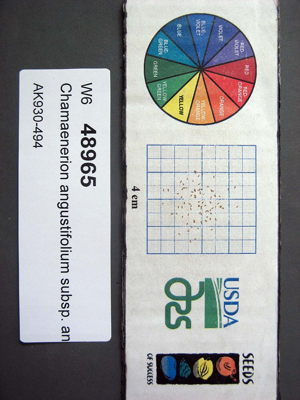 | | 2015 | | | | | | | Wild material | | 1923879 | W6 48965 |
| 17 | Ames 32831 | RLD1401 | Cornus rugosa Lam. | Minnesota, United States | NC7 | | | 2014 | COLLECTED | 09/03/2014 | Becker County near Pine Island Lake. | 47.14710000, -95.43608330 | 503 | Upland roadside near steep dropoff with lake below. Mixed deciduous and conifer forest. Growing in association with Fraxinus pennsylvanica, Quercus macrocarpa, Populus tremuloides, Betula papyrifera, Picea glauca, Pinus strobus, Sambucus sp., Acer spicatum, Rosa sp., Rubus sp., and Sanicula marilandica. | Wild material | | 1921824 | Ames 32831 |
| 18 | Ames 32096 | BA13009001 | Fraxinus nigra Marshall | Minnesota, United States | NC7 |  | | 2013 | COLLECTED | 09/23/2013 | T144N R38W, Clearwater County. | 47.25711000, -95.49000667 | 543 | Edges of lakes and forest edges. Growing in association with Fraxinus pennsylvanica, Quercus macrocarpa, Ulmus americana, Populus tremuloides, Populus balsamifera, Acer saccharum, Betula papyrifera, Salix sp., Larix laricina, Quercus rubra, Abies balsamea, Picea glauca, Sambucus canadensis, Cornus rugosa, Acer spicatum, Rosa sp., Viburnum opulus var. americanum, Viburnum dentatum, Alnus sp., Cornus canadensis, Corylus sp., Prunus virginiana, Ribes sp., Prunus pensylvanica, Rhamnus alnifolia, Equisetum sp., Carex sp., Rubus sp., Impatiens capensis, Bromus sp., and Thalictrum dasycarpum. | Wild material | D.B.H. ranged between 3 and 6 inches. | 1914713 | Ames 32096 |
| 19 | Ames 32630 | AK930-178 | Potentilla pensylvanica L. | Alaska, United States | NC7 |  | | 2012 | COLLECTED | 08/21/2010 | | 61.98275000, -145.35290000 | 386 | Gravelly and sandy soil (2.5Y 3/4). | Wild material | | 1900713 | Ames 32630 |
| 20 | Ames 32569 | AK930-176 | Linum lewisii Pursh var. lewisii | Alaska, United States | NC7 | 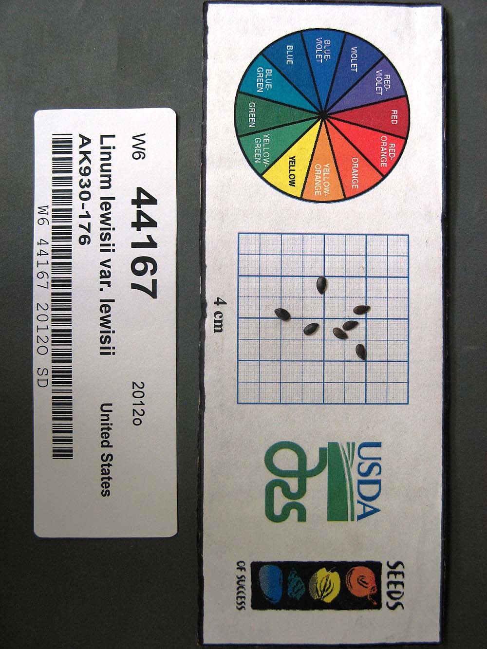 | | 2012 | COLLECTED | 08/21/2010 | | | 386 | Steep gravel slope by roadside. Gravelly and sandy soil (2.5Y 3/2). Associated with Achillea millefolium, Androsace septentrionalis, Anemone multifida, Arabis holboellii, A. x divaricarpa, Arctostaphylos, Artemisia frigida, Astragalus, Calamagrostis purpurascens, Carex, Elymus agropyroides, Eurybia sibirica, Galium boreale, Linum lewisii, Poa glauca, Polemonium pulcherrimum, Populus tremuloides, Potentilla hookeriana, P. pensylvanica, Pulsatilla, Rosa acicularis, Shepherdia canadensis, and Solidago multiradiata. | Wild material | | 1900586 | Ames 32569 |
| 21 | Ames 32627 | AK930-269 | Potentilla norvegica L. | Alaska, United States | NC7 |  | | 2012 | COLLECTED | 09/09/2010 | West end of Circle Hot Springs Air Strip. | 65.48548000, -144.62135000 | 271 | Parking area margins. Silty loam soil (2.5Y 3/6). | Wild material | | 1900616 | Ames 32627 |
| 22 | WLP 2206 | AK930-128 | Amelanchier alnifolia (Nutt.) Nutt. ex M. Roem. | Alaska, United States | NA |  | | 2012 | COLLECTED | 08/10/2010 | Off the Seward Highway, Windy Trailhead, mile marker 106. Chugach State Park. | 61.24780000, -149.32671000 | 9 | vegetated rocky mountainside Soil type: sand, loam, rocks - 2.5/1 2.5Y. South facing slope, 10 degrees. | Wild material | | 1900462 | WLP 2206 |
| 23 | Ames 32631 | AK930-288 | Potentilla pensylvanica L. | Alaska, United States | NC7 |  | | 2012 | COLLECTED | 09/11/2010 | Bluffs east of Birch Creek crossing, Steese Highway. | 65.71155000, -144.31697000 | 239 | Silt, sand, and pebbles soil (2.5Y 4/4). | Wild material | | 1901064 | Ames 32631 |
| 24 | OPGC 5510 | 170756 | Heterotheca villosa (Pursh) Shinners | Colorado, United States | OPGC |  | | 2005 | | | | | | | Wild material | Herb .15-.3 meters tall. | 1673869 | OPGC 5510 |
| 25 | WLP 2073 | 177375 | Clematis ligusticifolia Nutt. | Colorado, United States | NA | 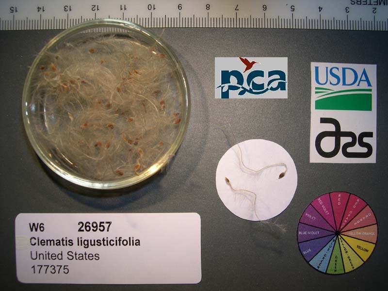 | | 2005 | COLLECTED | 09/12/2002 | | | 2409 | Pinyon-juniper woodland. Associated with Salix, Rosa woodsii, Populus tremuloides, Rhus aromatica, Yucca glauca, Cercocarpus montanus, Chrysothamnus spp. | Wild material | Forb 1.8 meters tall. | 1673995 | WLP 2073 |